Providing creative solutions to imaging aerial photography, ground and aerial infrared studies/inspections using the latest FLIR technologies. Agricultural Mapping and applications.
We apply a creative flair to video/photography/imaging services, offering our clients numerous options to offer something for every budget.
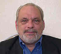
For infrared work, I apply 4 decades of forensic data analysis skills to capturing, verification, and interpretation of the thermal inspections, providing accurate reporting with multiple suggestions for improvement if so requested.
Leveraging the latest Zenmuse X5s, Z30, FLir XT 2 Dual Thermal, and Slantrange 3px aerial sensors, and ground based T530 FLIR Infrared.
All infrared work conducted according to ASNT best practices and standards.
Sorry, no records were found. Please adjust your search criteria and try again.
Sorry, unable to load the Maps API.

