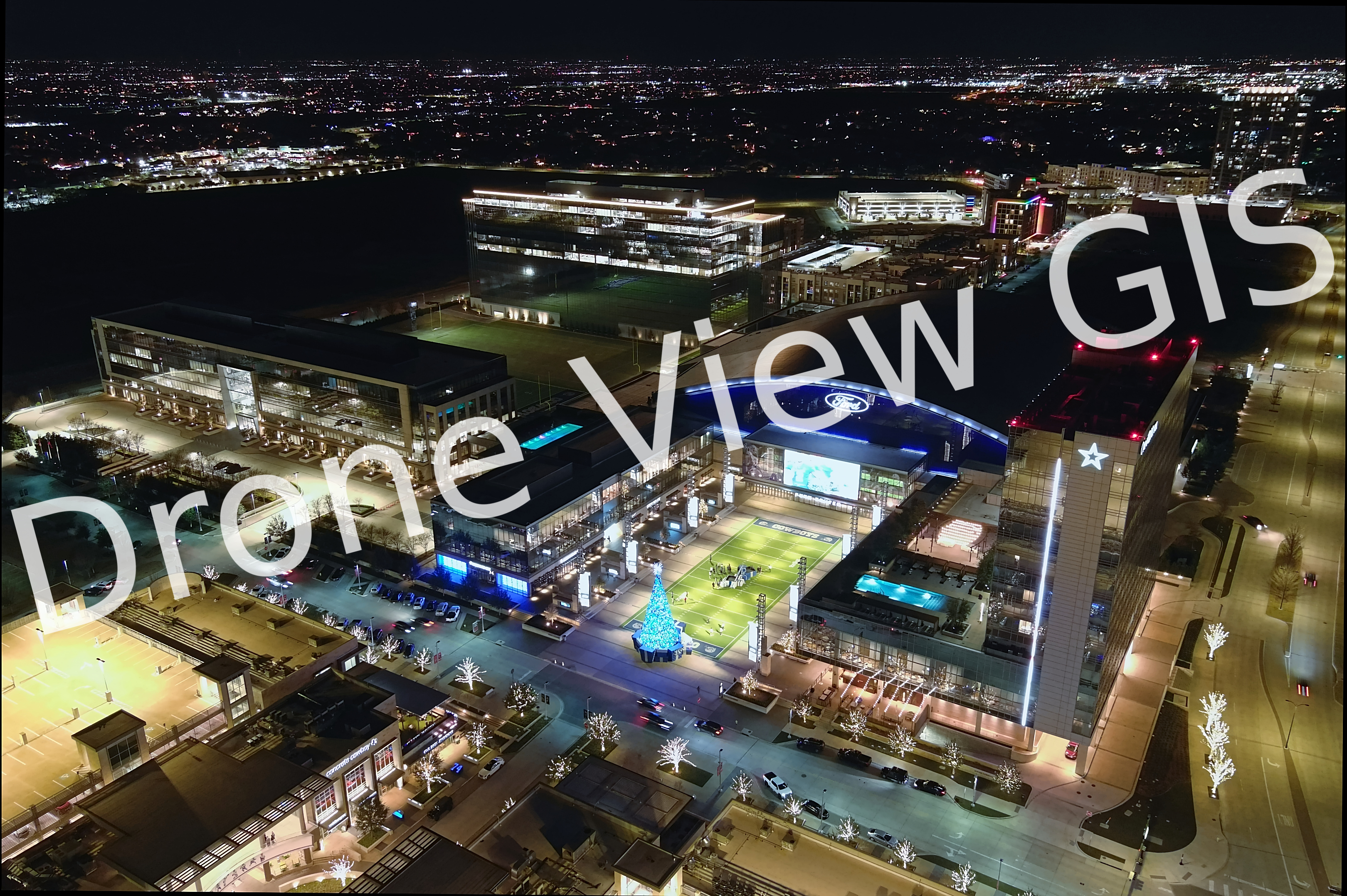
Dallas Cowboys Headquarters in Frisco, Texas - Winter 2021
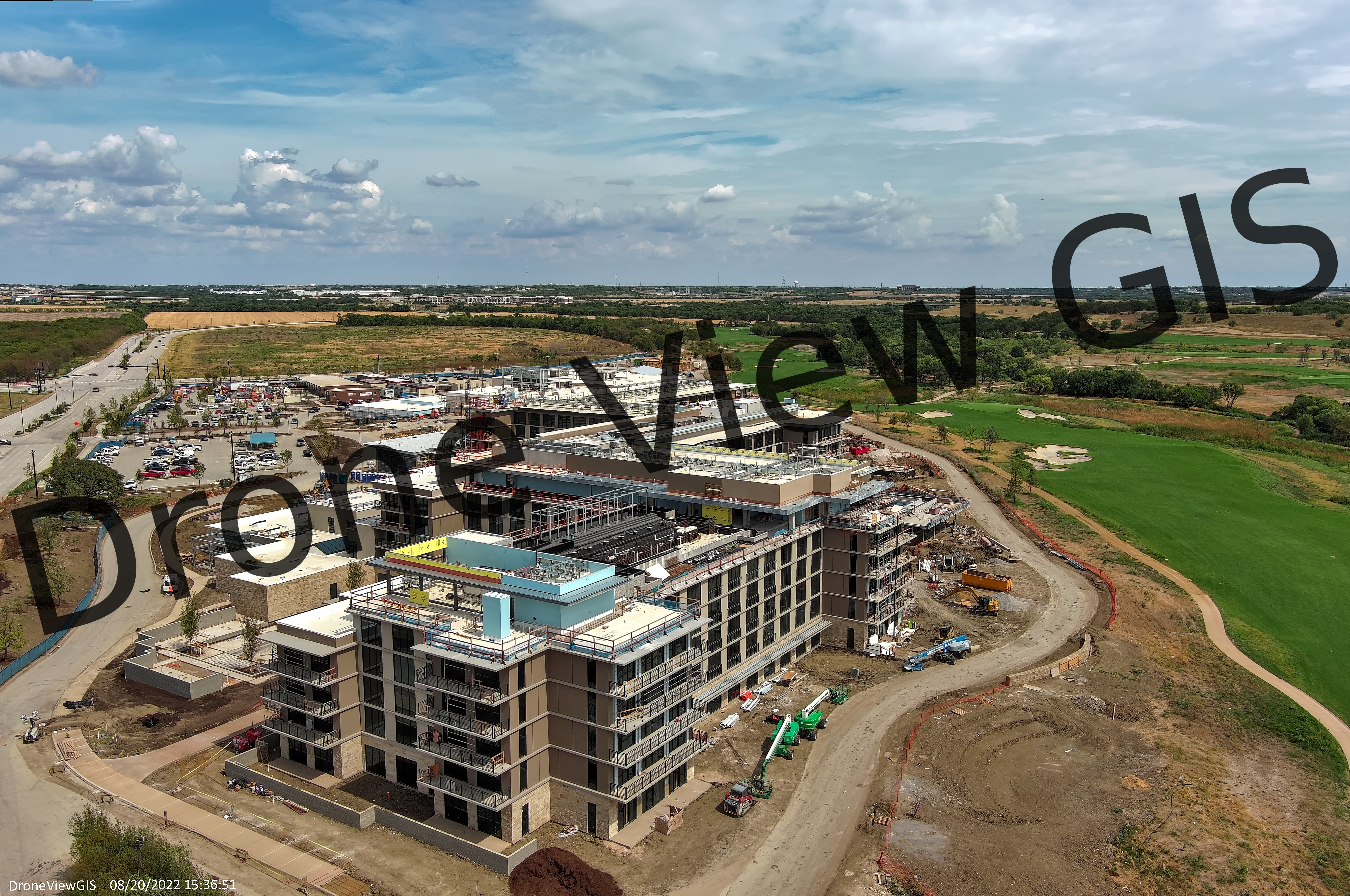
PGA Omni Resort in Frisco, Texas - Summer 2022
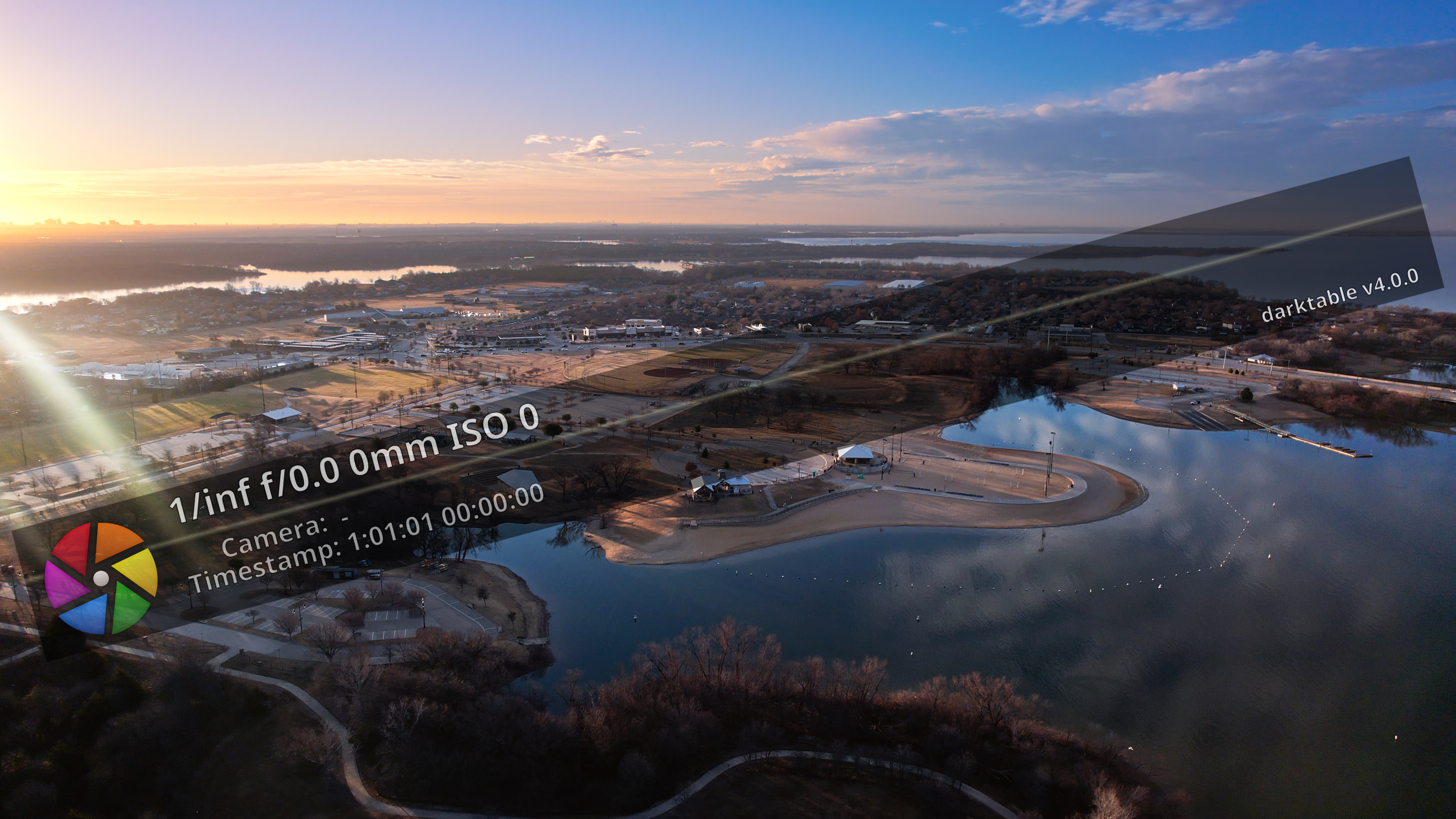
Little Elm Park in Little Elm, Texas - Winter 2021
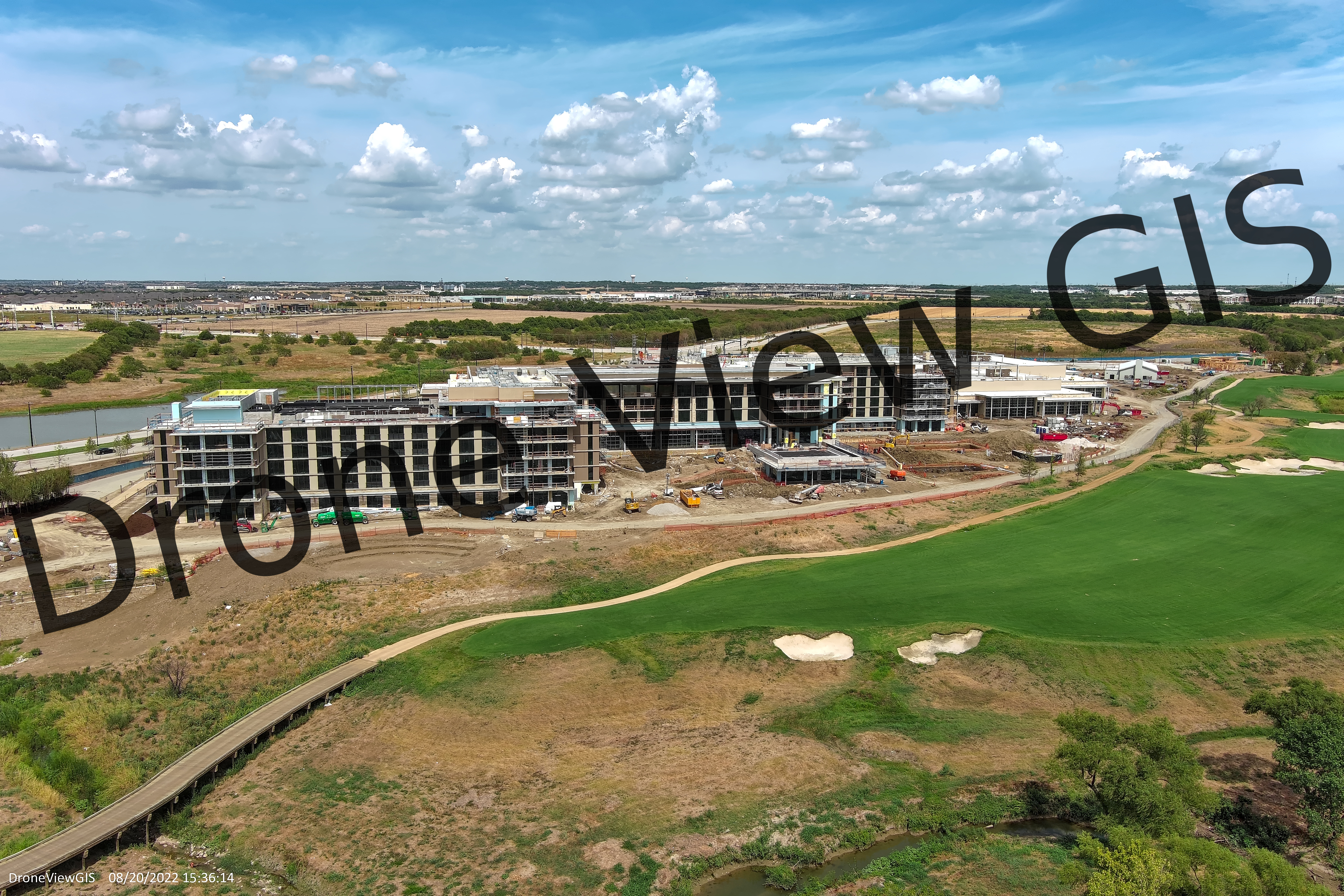
PGA Omni Resort in Frisco, Texas - Summer 2022
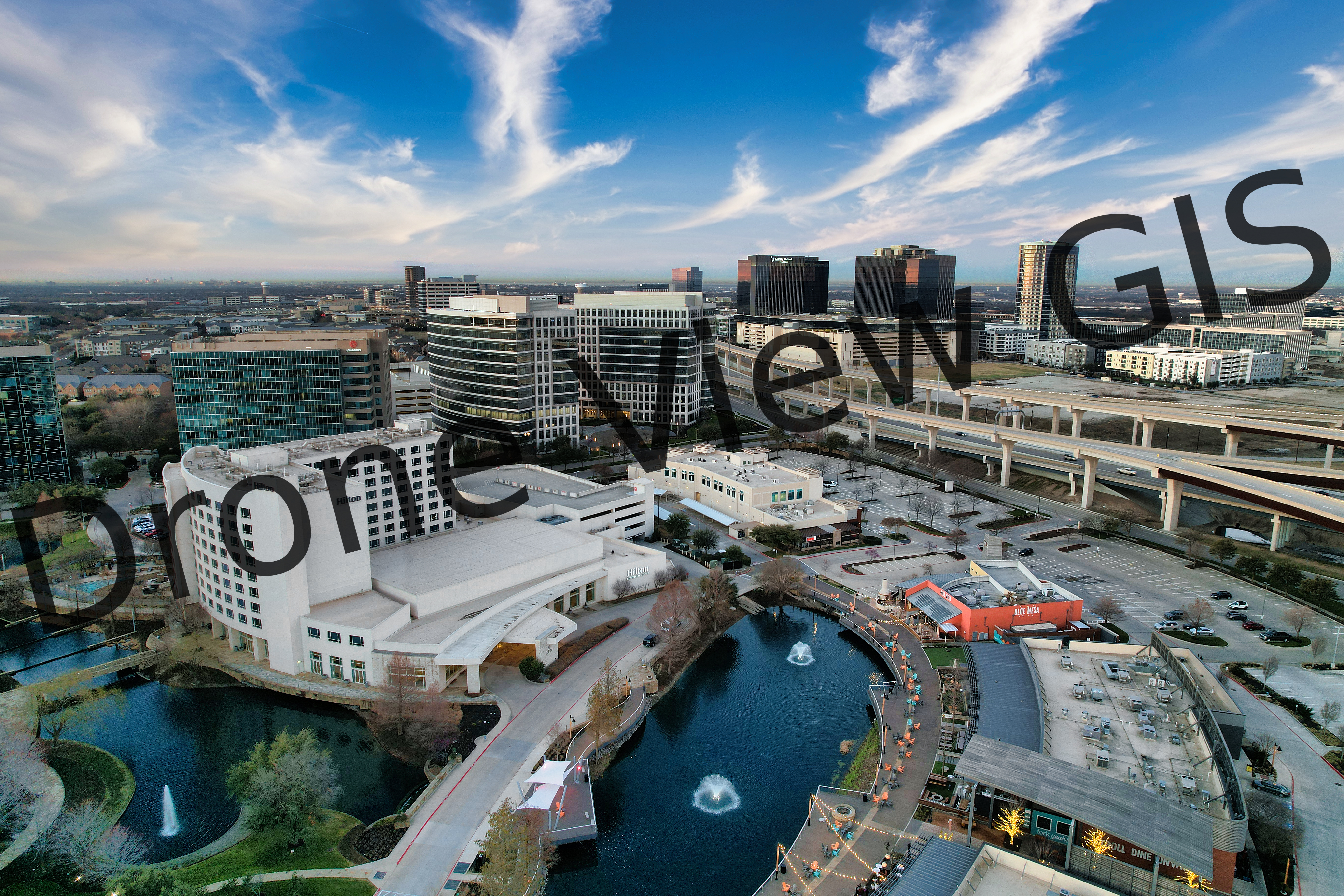
Granite Park in Plano, Texas - Spring 2022
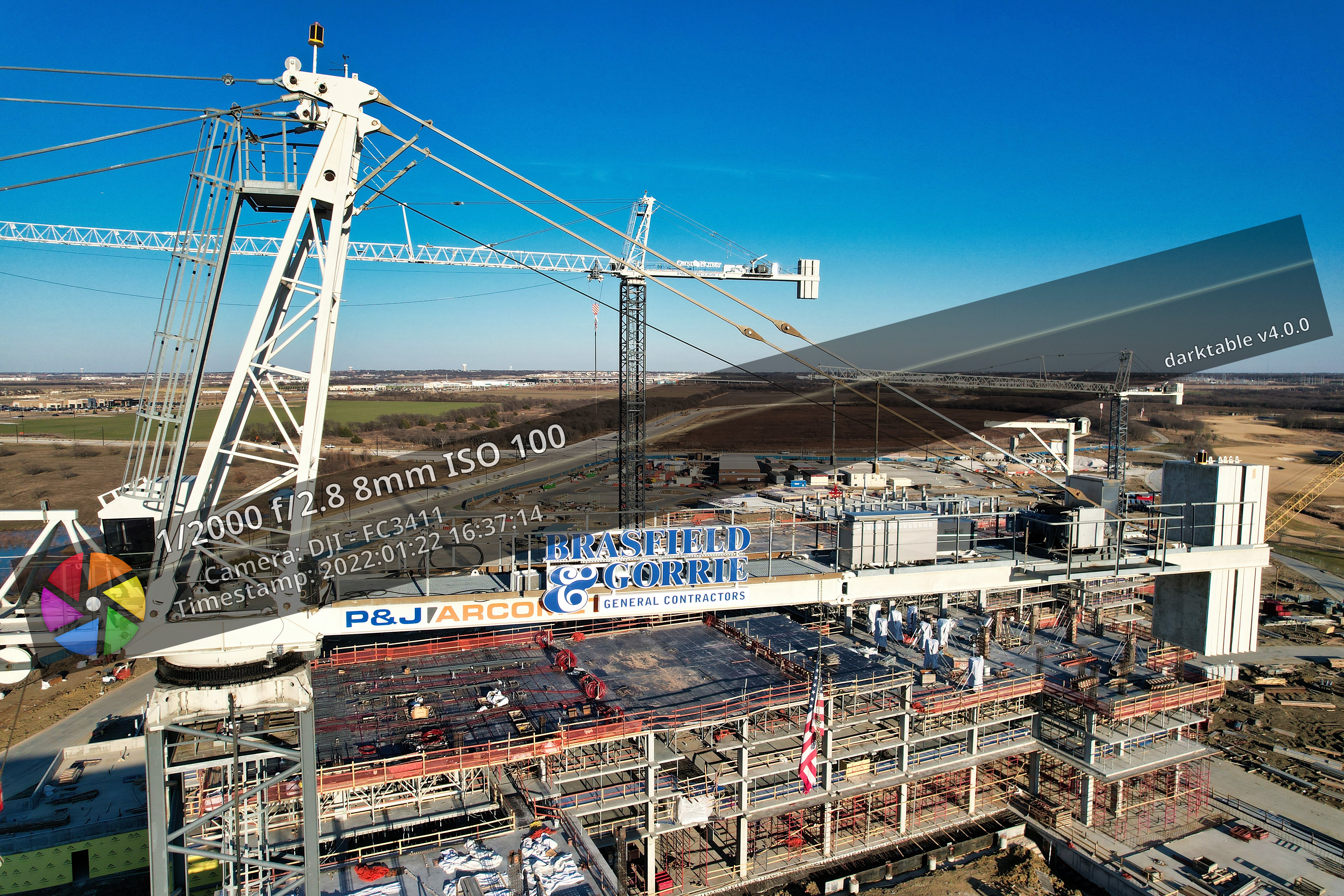
PGA Omni Resort in Frisco, Texas - Summer 2021
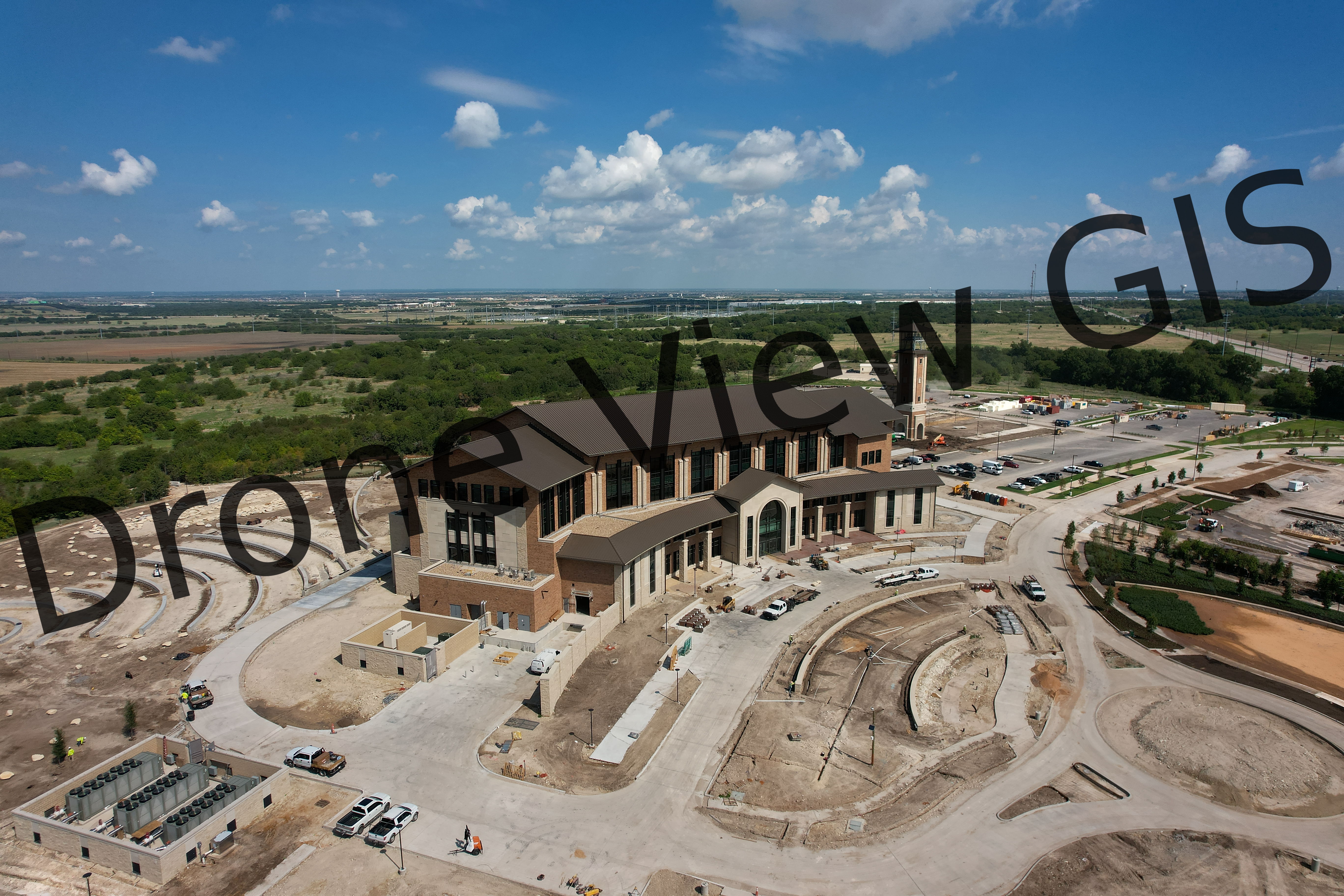
New UNT Campus in Frisco, Texas - Summer 2022
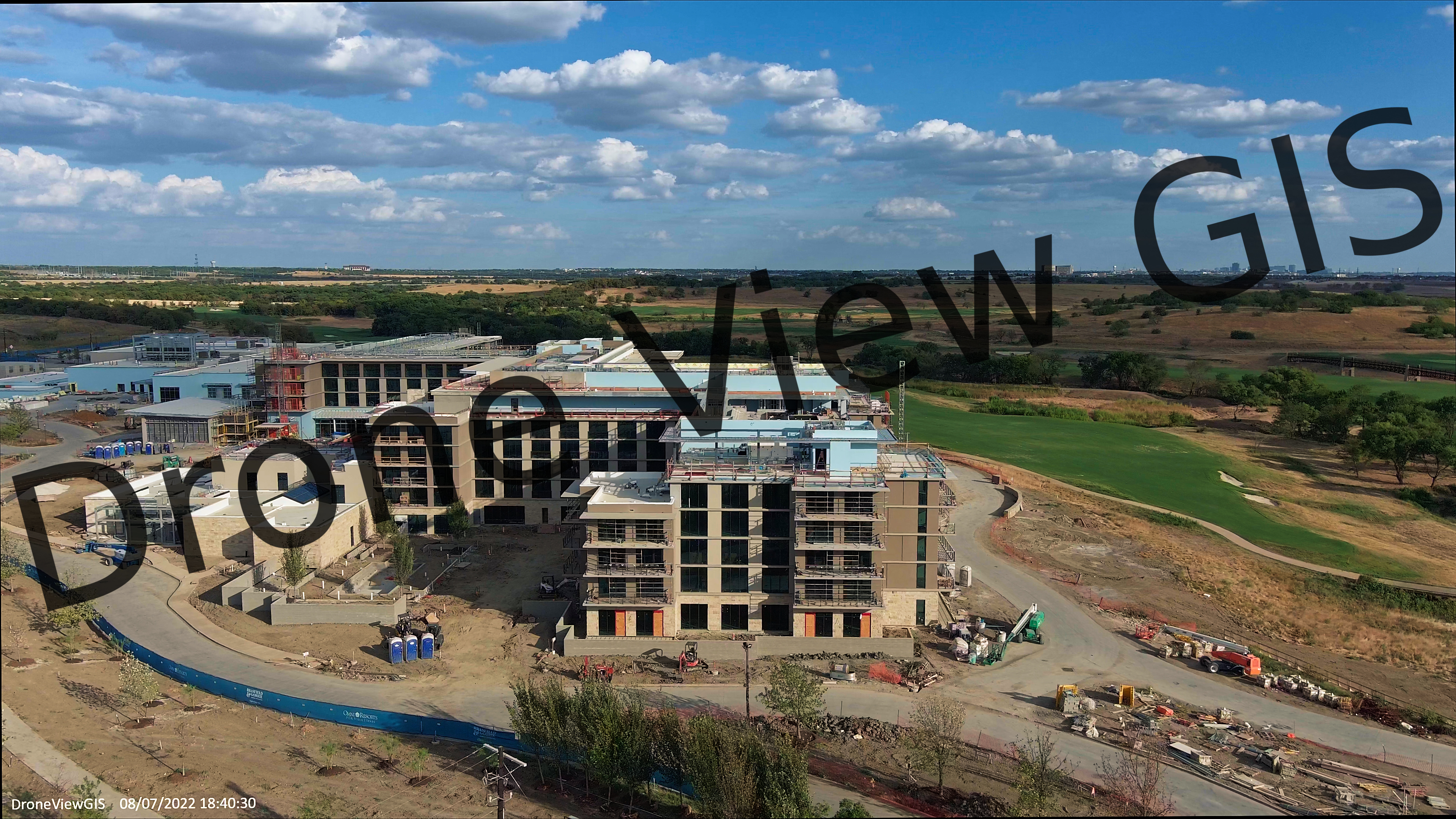
PGA Omni Resort in Frisco, Texas - Summer 2022
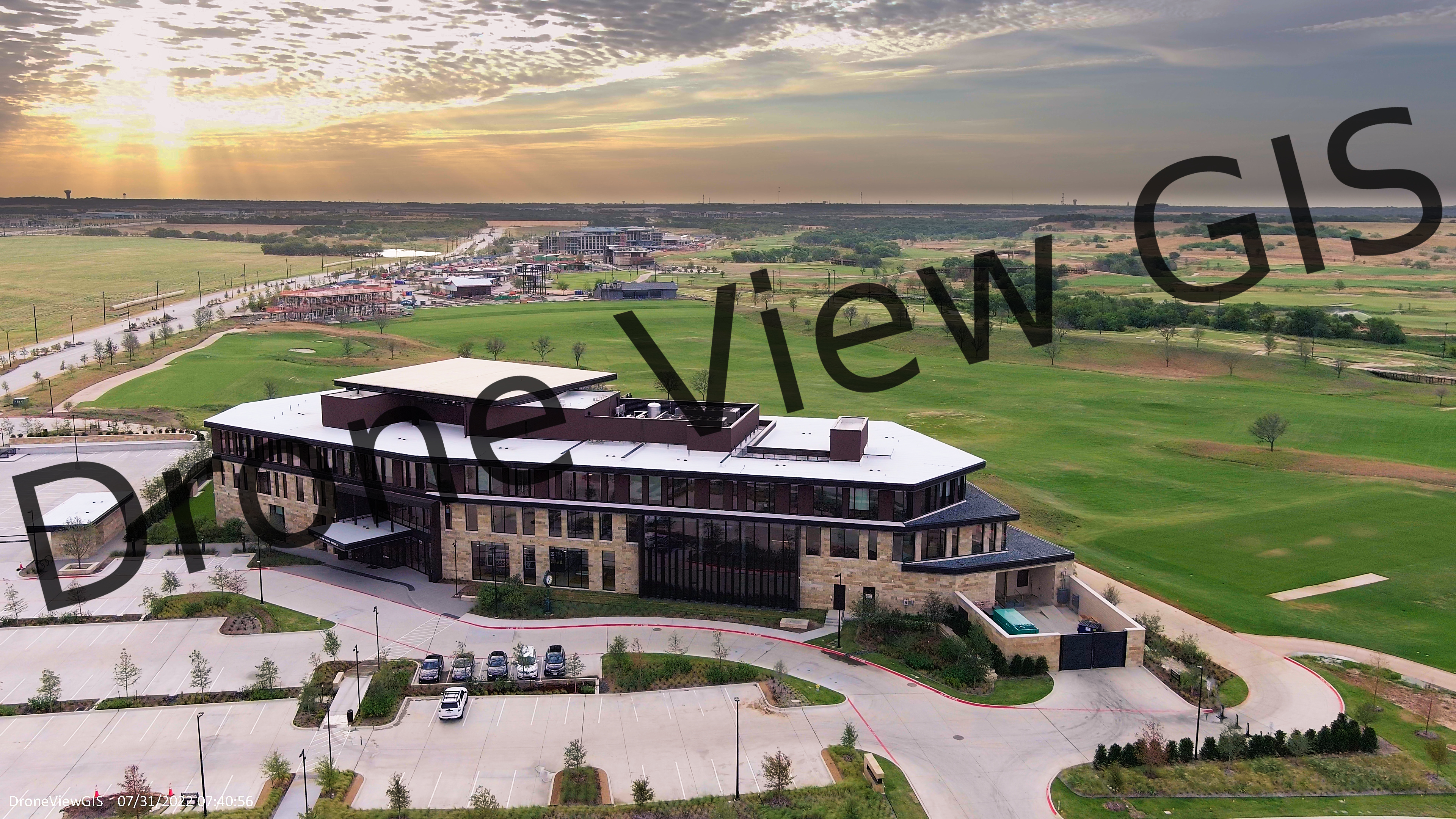
PGA of America in Frisco, Texas - Summer 2022
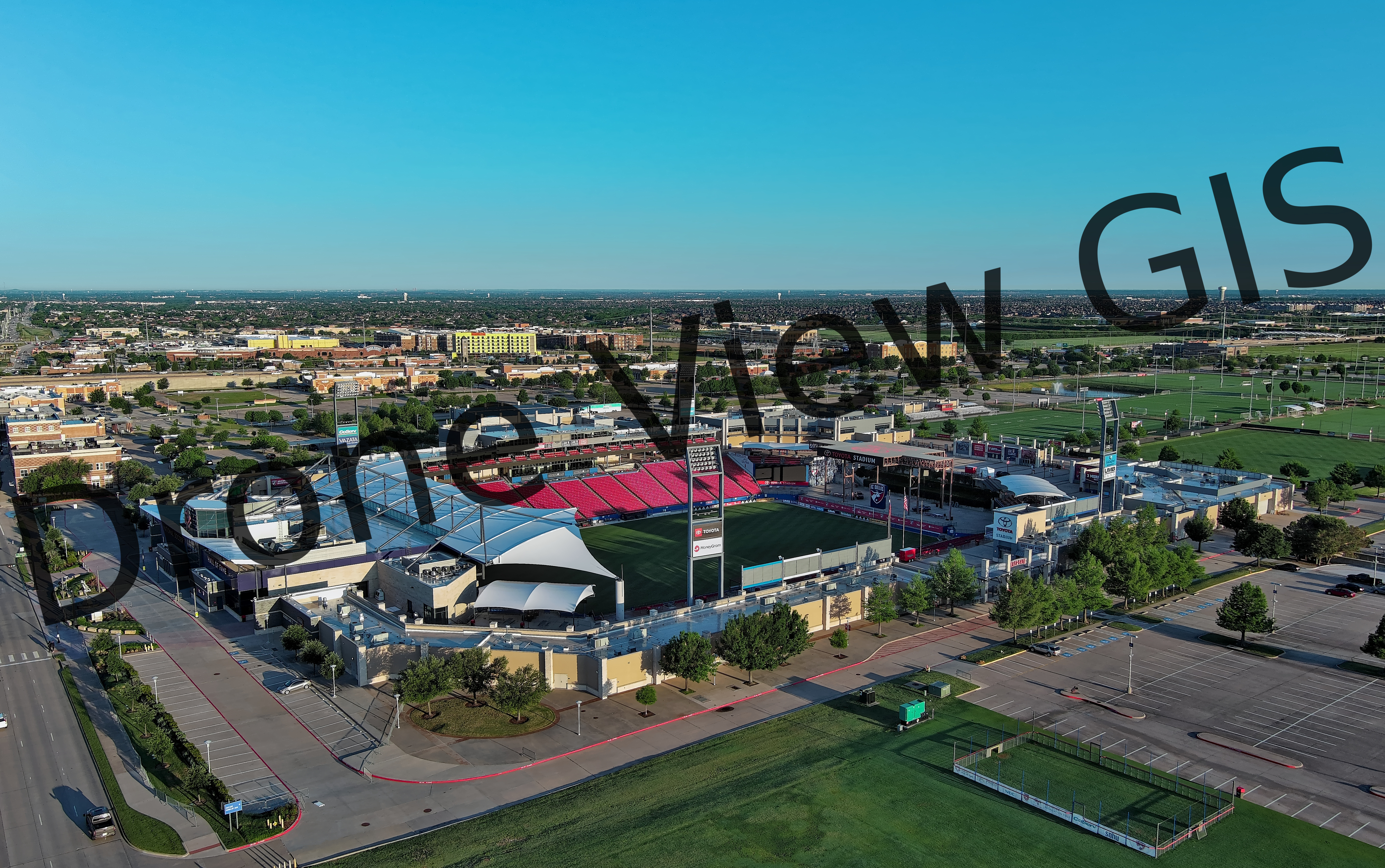
Toyota Stadium in Frisco, Texas - Spring 2022
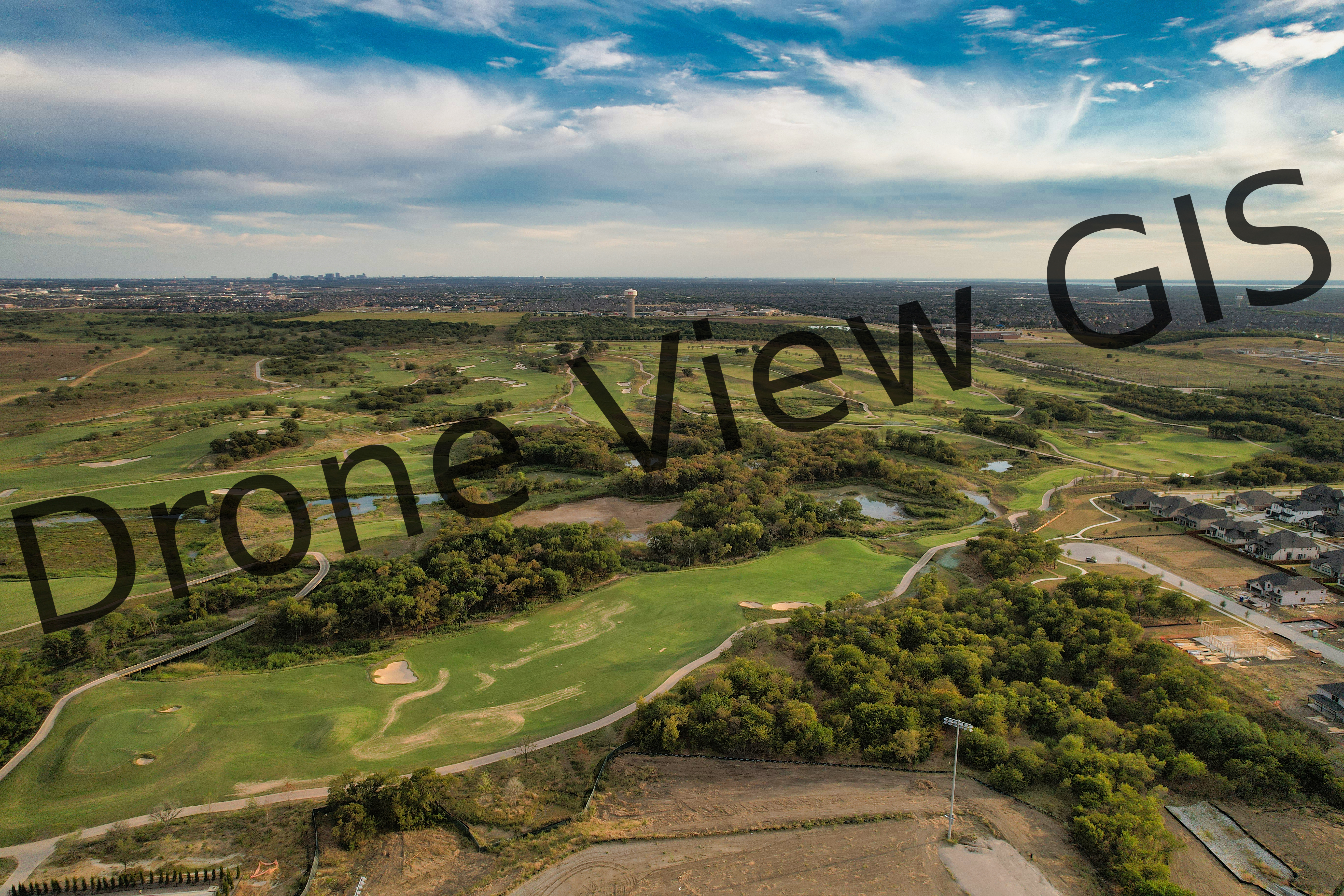
PGA Golf Course in Frisco, Texas
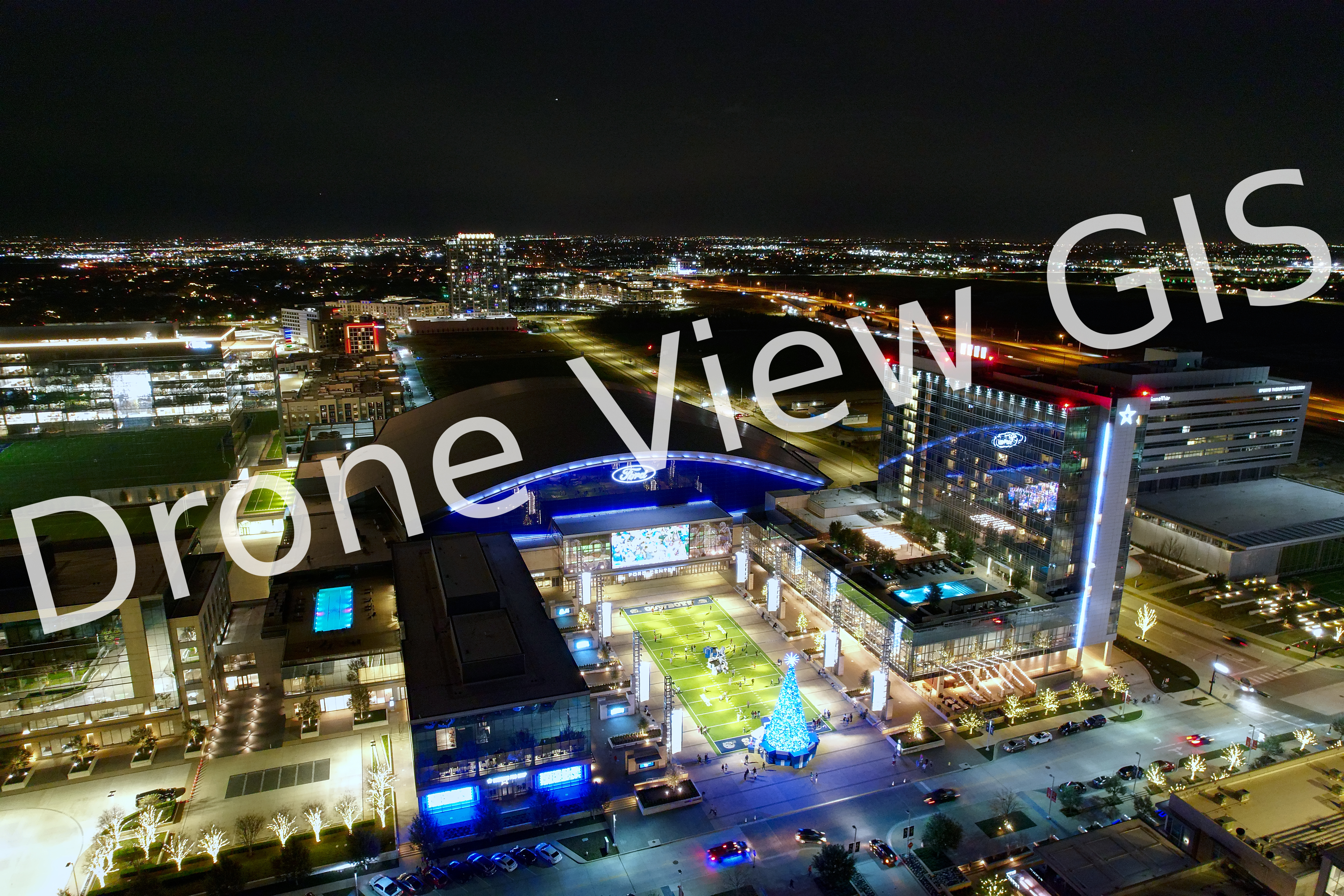
Dallas Cowboys Headquarters in Frisco, Texas - Winter 2021
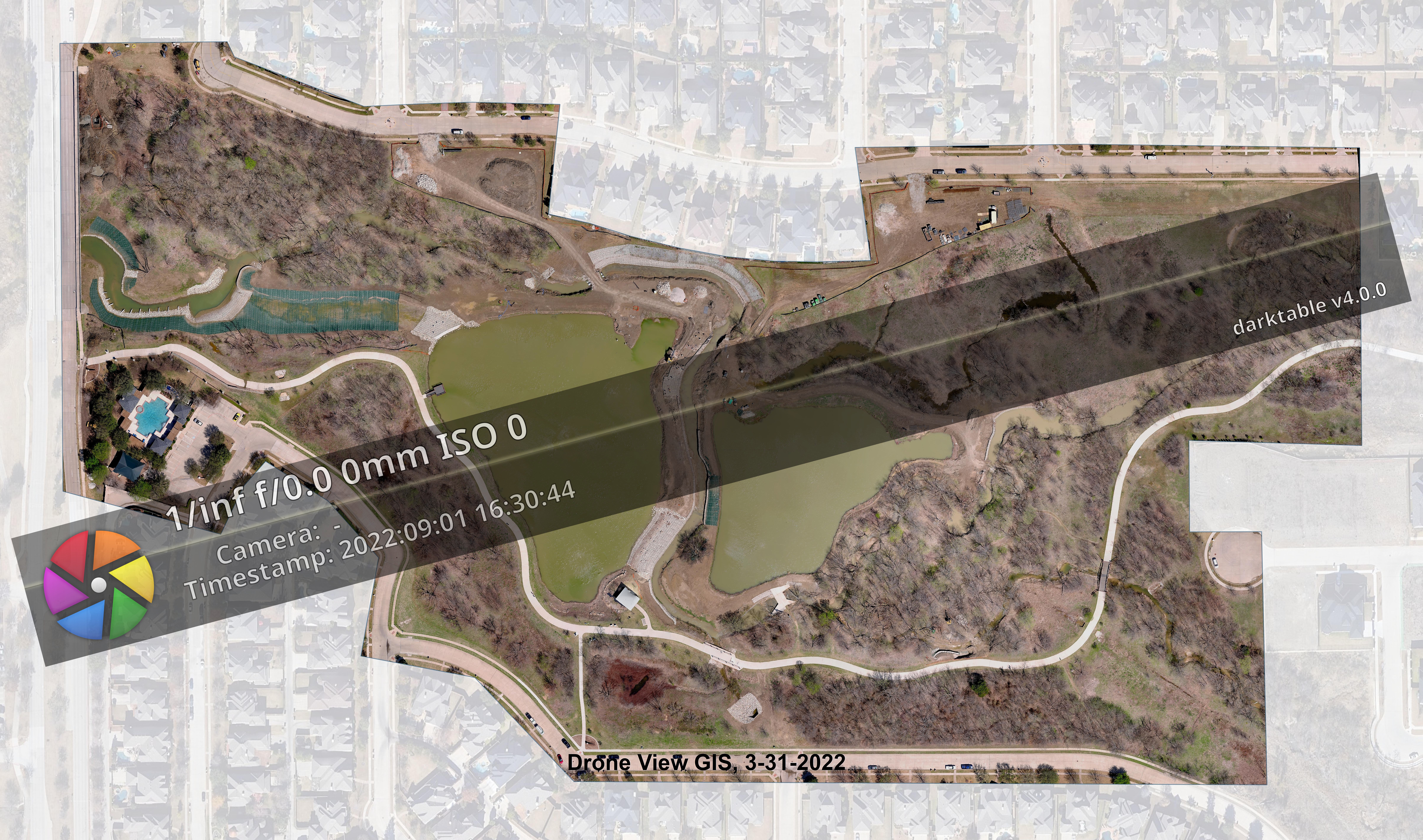
Aerial Mapping of Cottonwood Creek Greenbelt in Frisco, Texas - Spring 2022
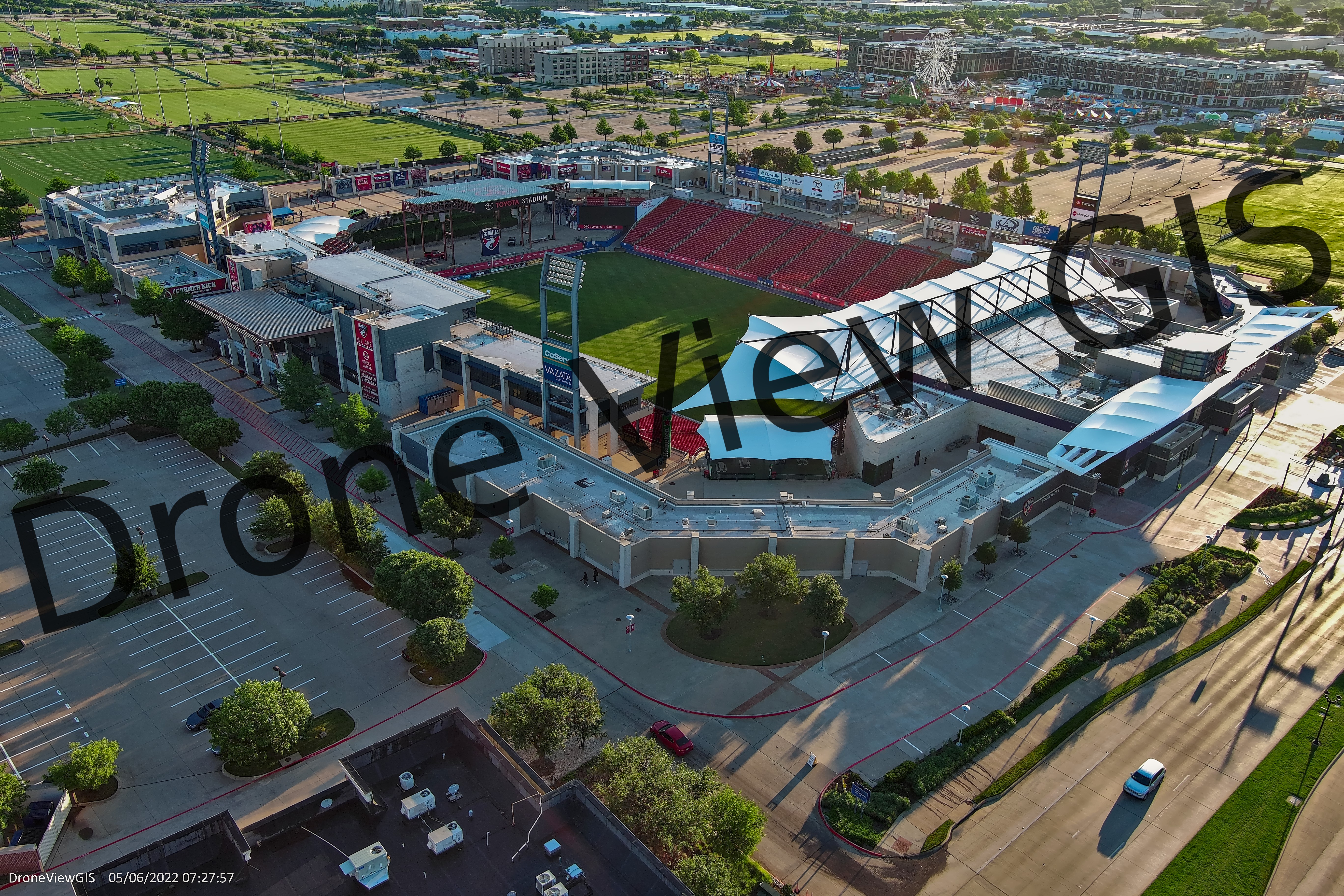
Toyota Stadium in Frisco, Texas - Spring 2022
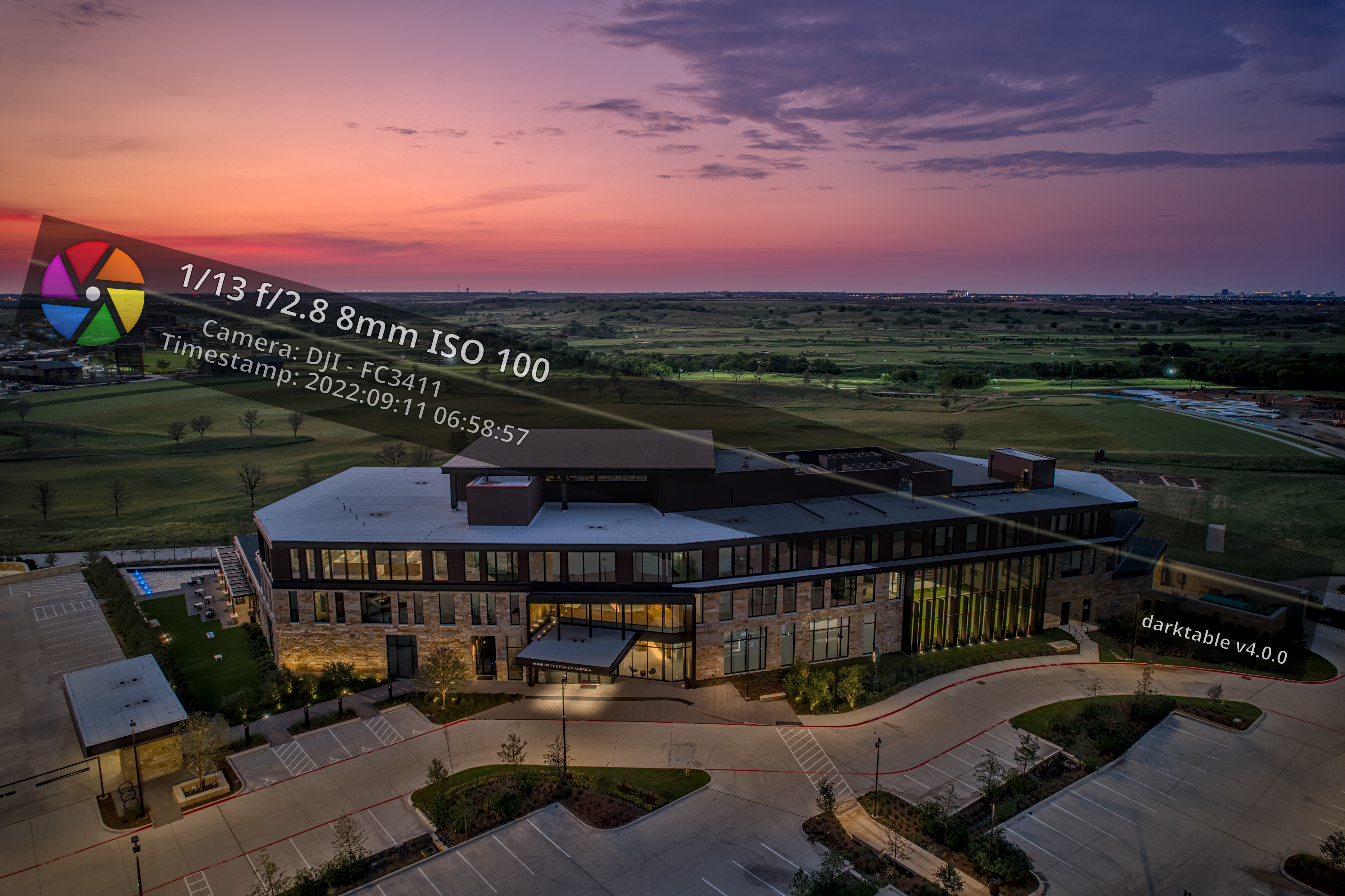
PGA of America in Frisco, Texas - Fall 2022
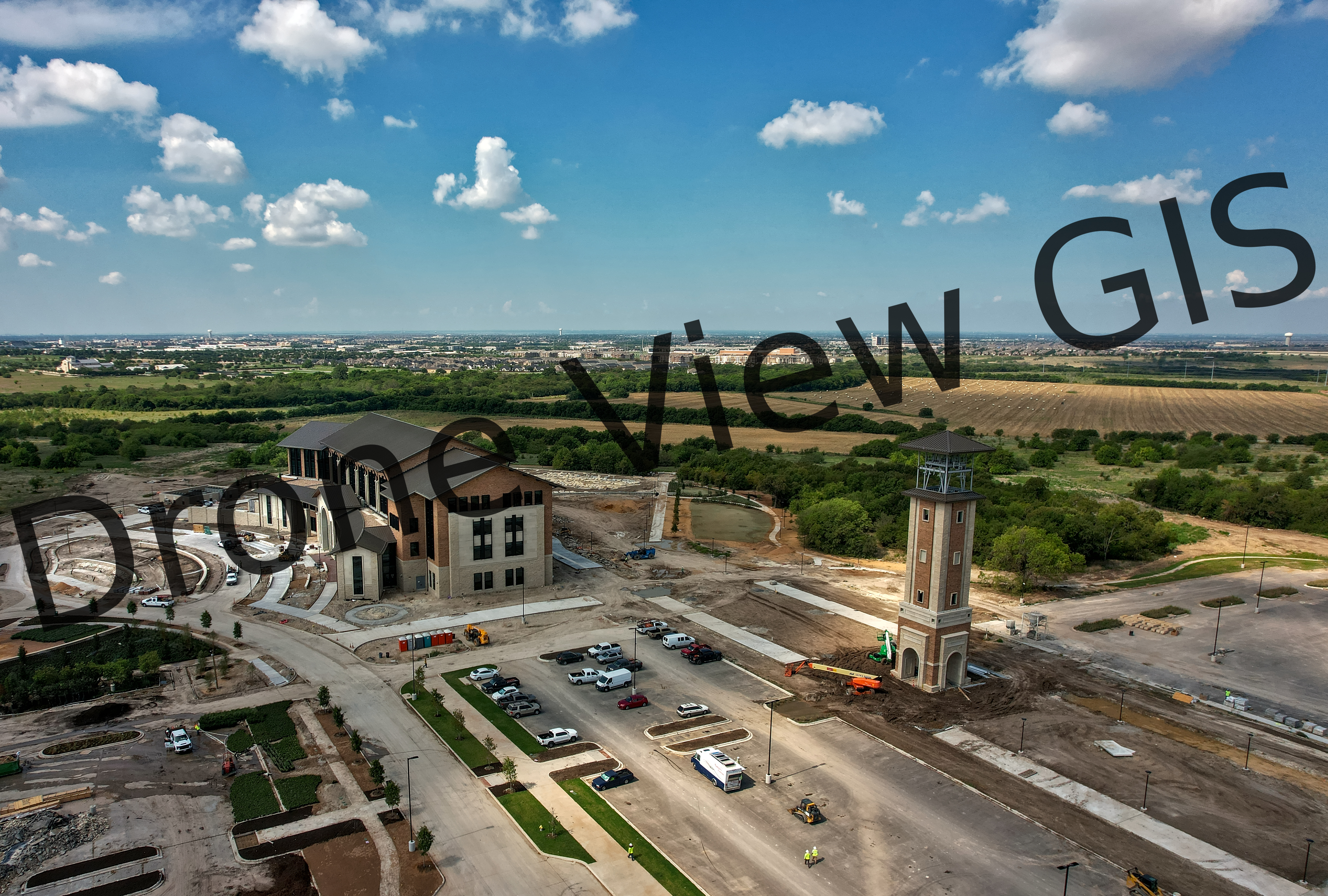
New UNT Campus in Frisco, Texas - Summer 2022
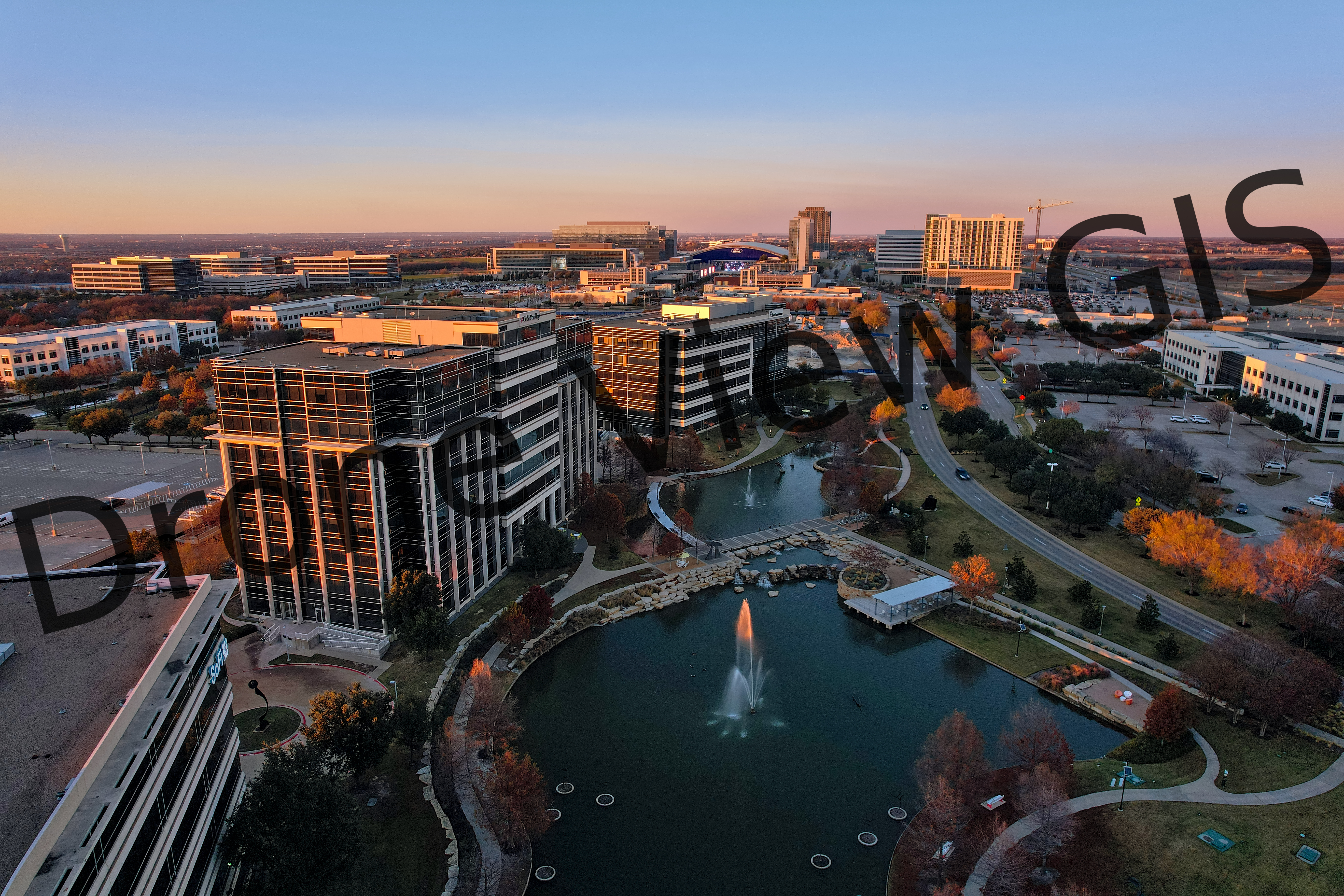
Hall Park in Frisco, Texas - Winter 2021
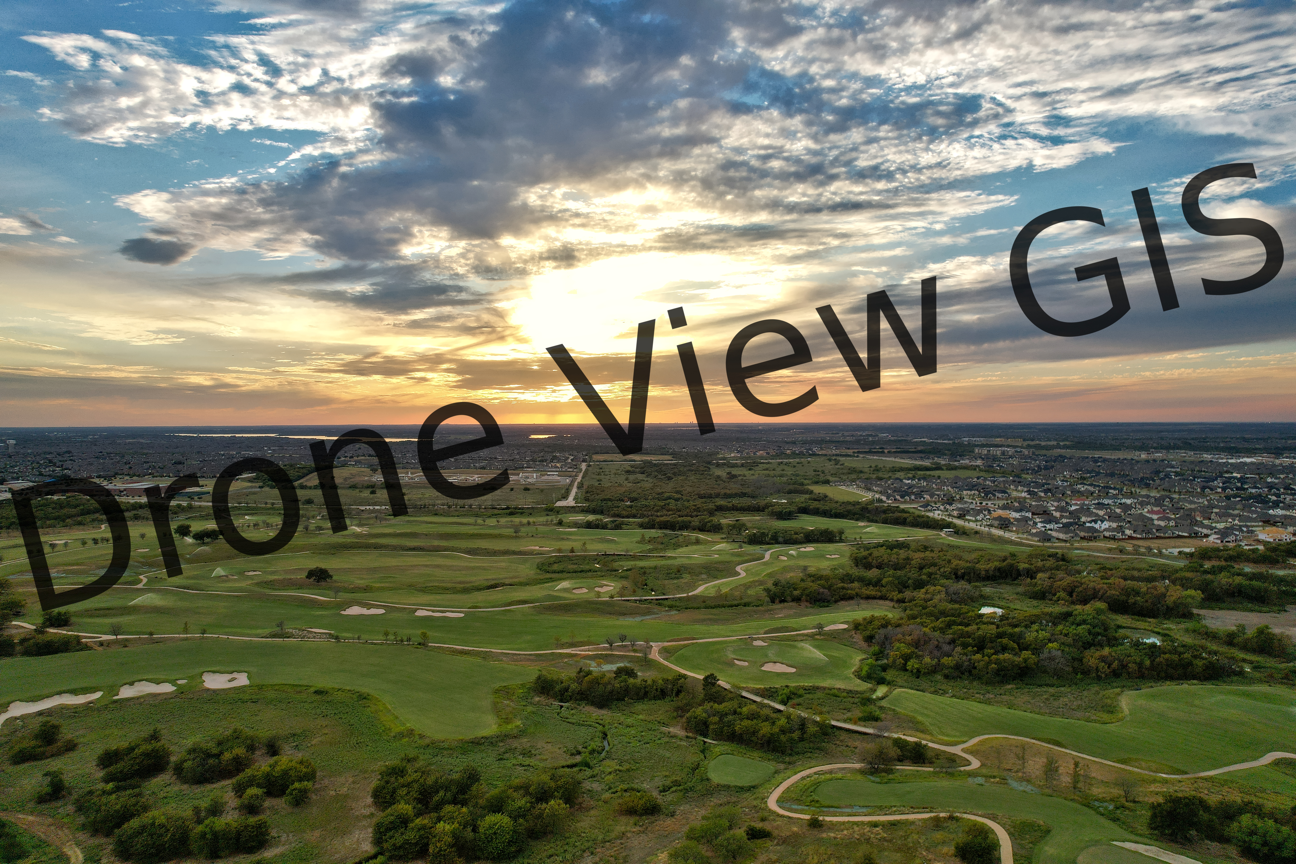
PGA Golf Course in Frisco, Texas
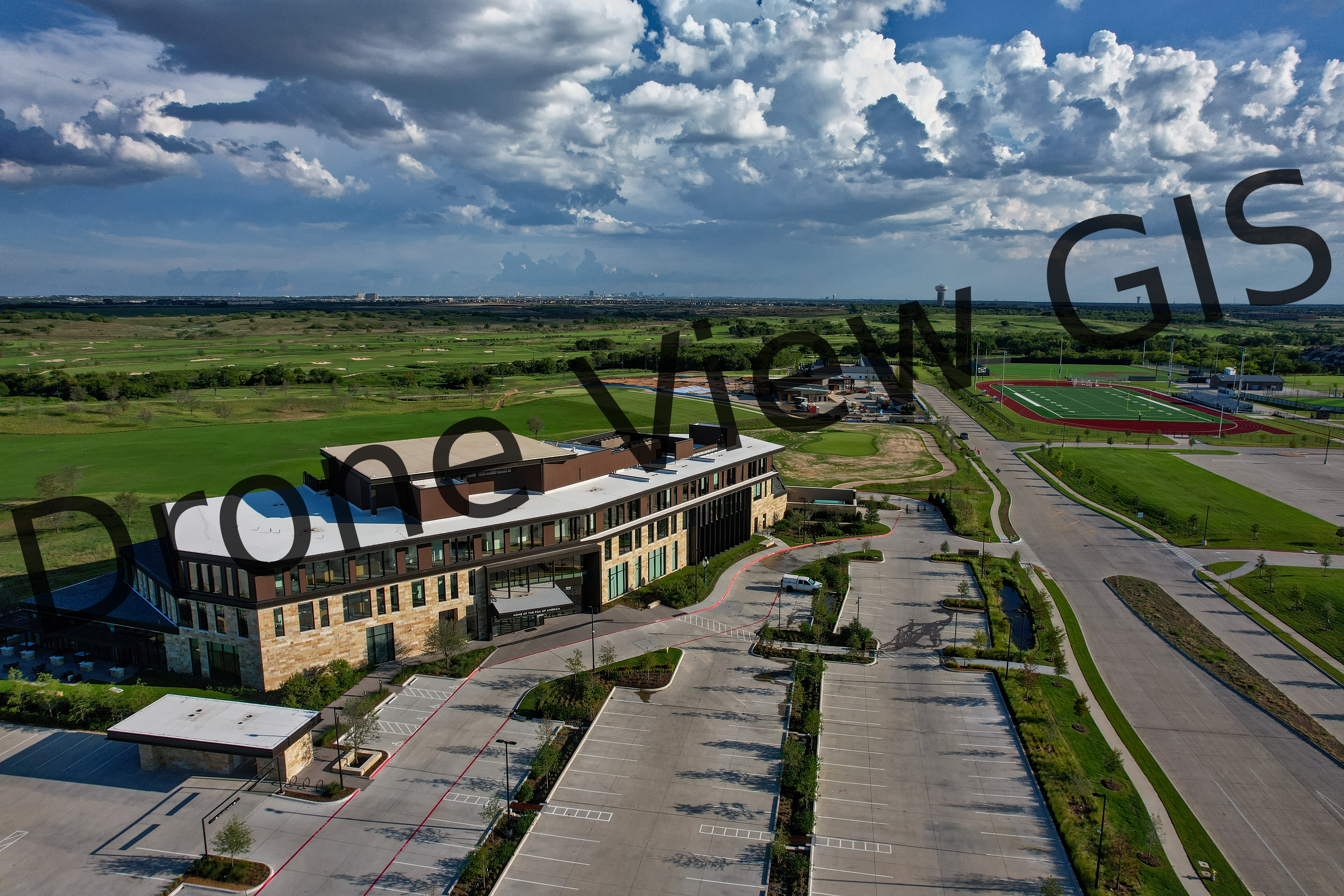
PGA of America in Frisco, Texas - Fall 2022
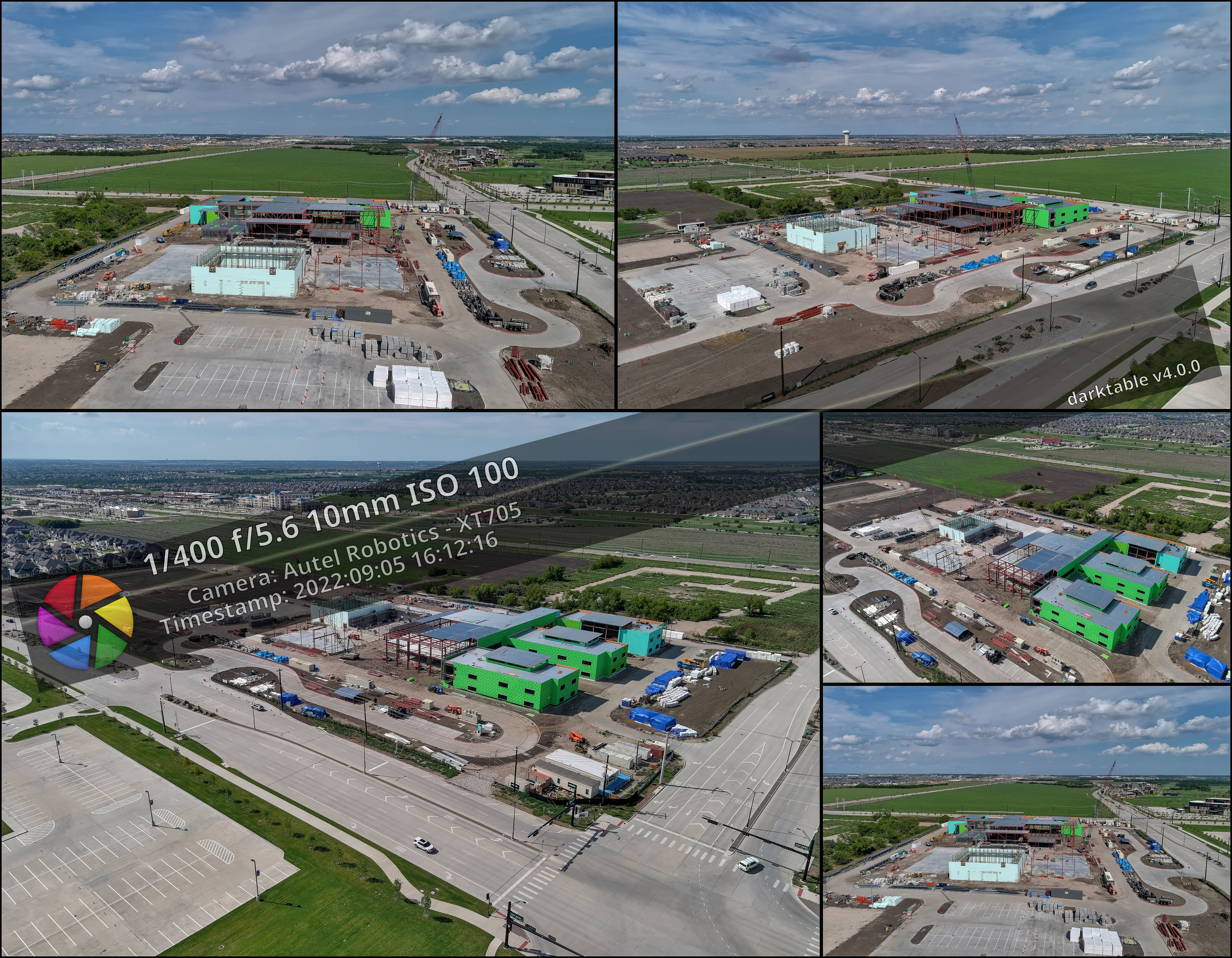
Small Construction Site - Fall 2022
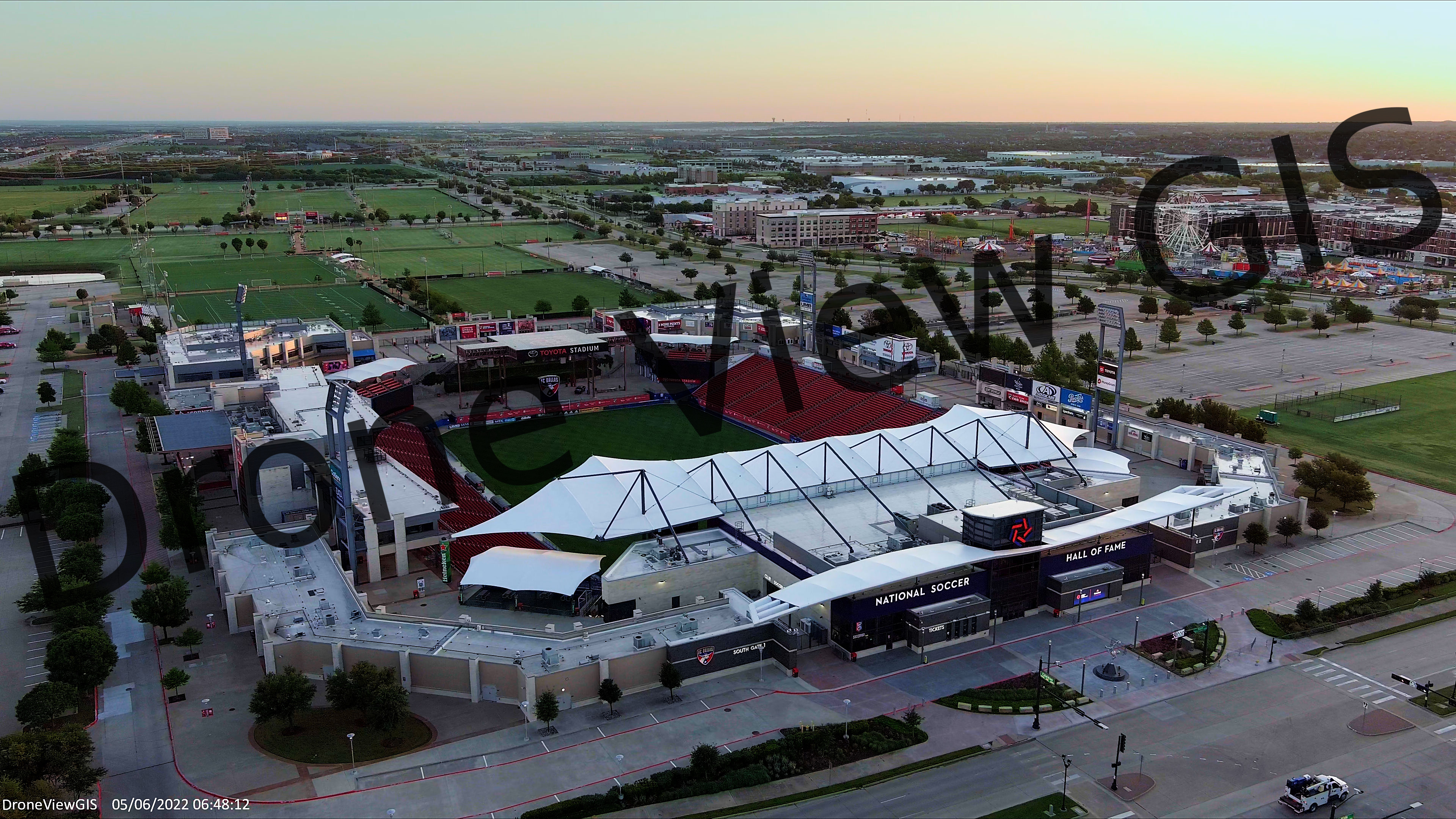
Toyota Stadium in Frisco, Texas - Spring 2022
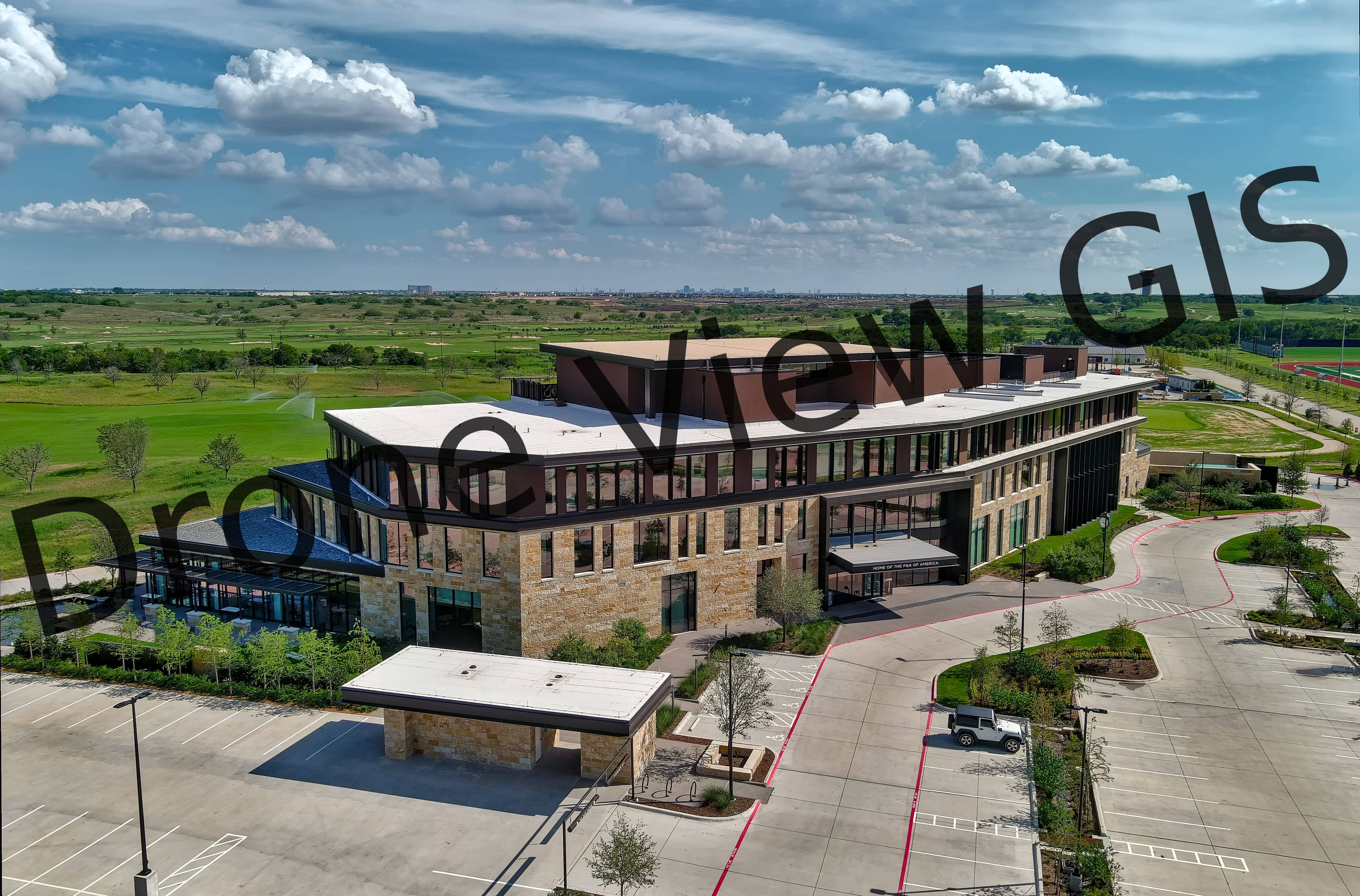
PGA of America in Frisco, Texas - Fall 2022
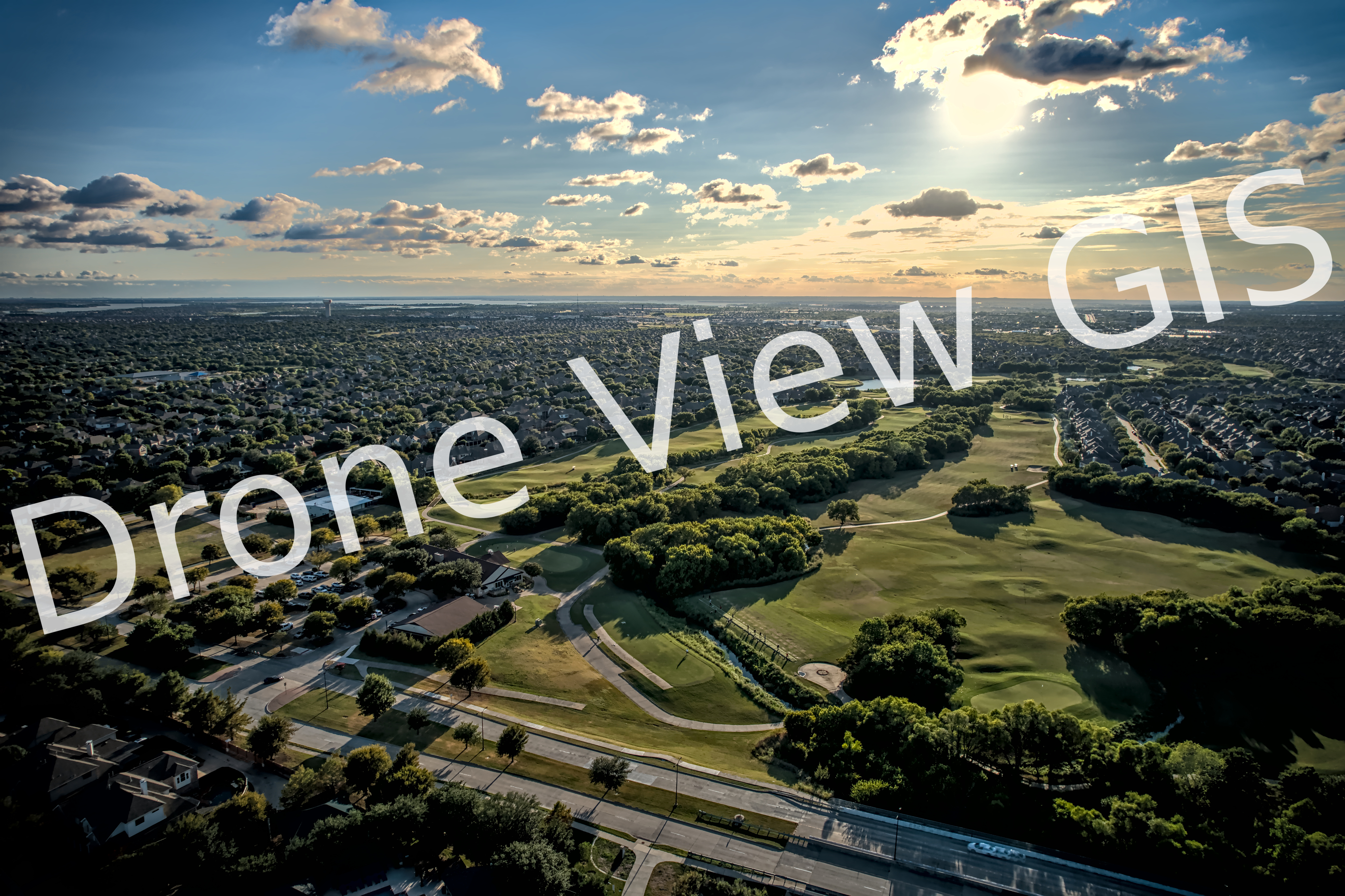
Trails Golf Course in Frisco, Texas - Fall 2021
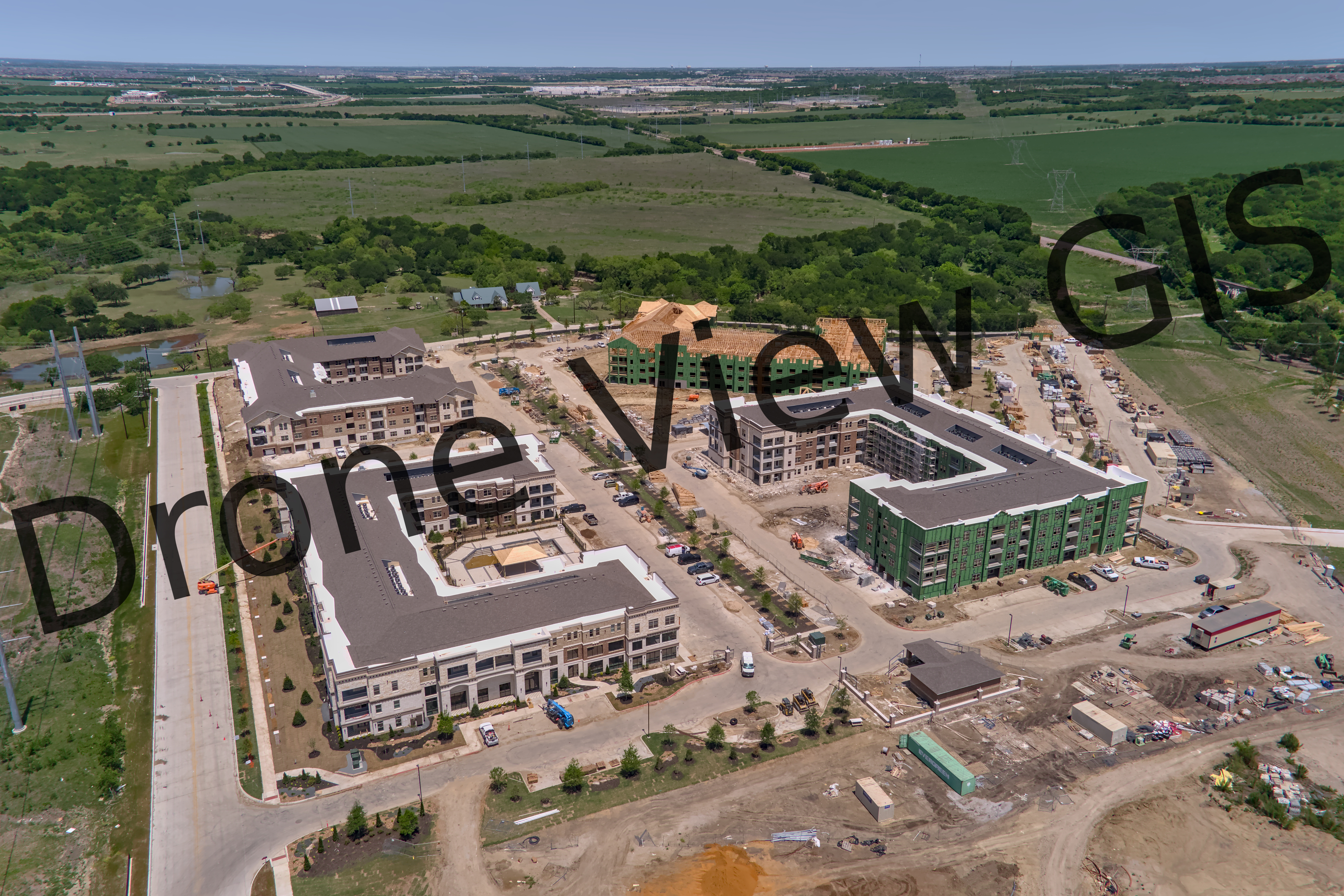
New Apartment Complex in Frisco, Texas - Spring 2022
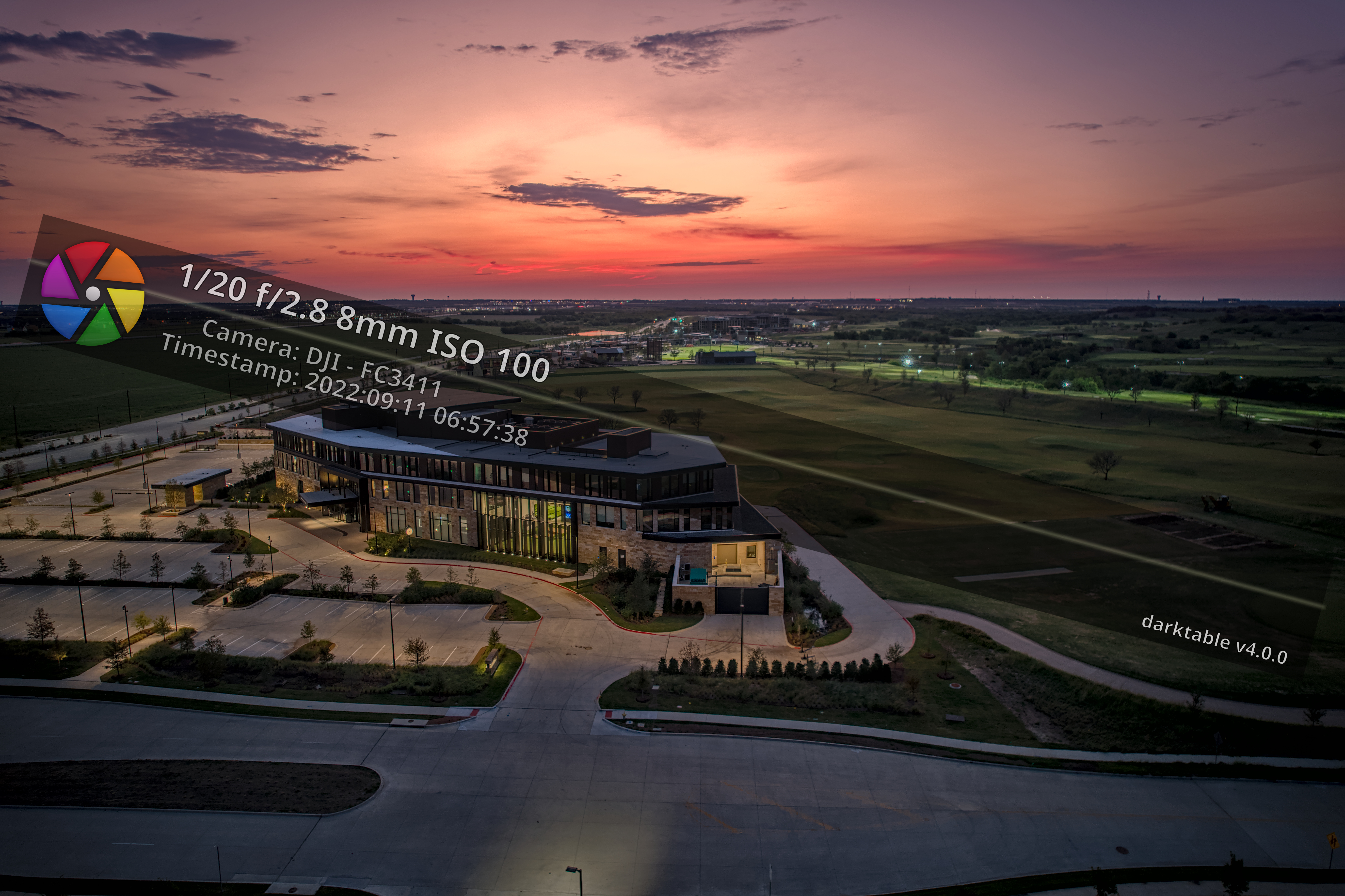
PGA of America in Frisco, Texas - Fall 2022
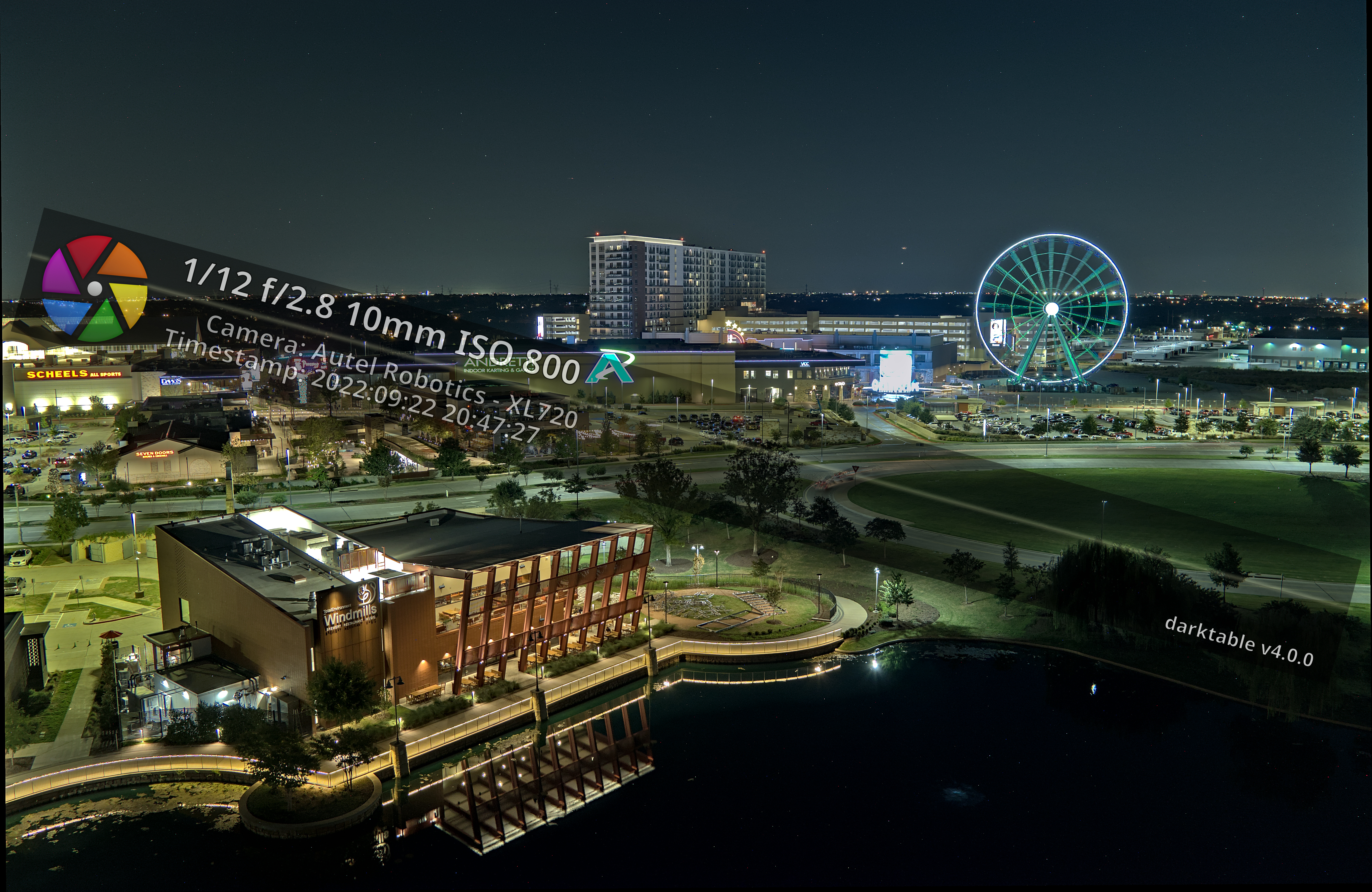
Grandscape in The Colony, Texas - Fall 2022
Hi and thank you for taking the time to learn about me. My name is Gerry (J-sound) and I have been mapping for over 25 years. I really enjoy the technical complexity of working with all kinds of drones. In addition, I have worked with all types of drone data since 2015, including DEMs, DSMs, DTMs, LiDAR, and photogrammetry. I have also worked with high resolution imagery since 1997 as part of my day job. I am also well versed with CAD and GIS software to complete complex jobs that may require simple coordinate conversion or exporting data to multiple formats. I complete my drone footage with film and movie industry standard DaVinci Resolve Studio and can export to various formats and resolutions including 4k. Pictures, aerials, and imagery can be enhanced with Darktable upon request.
I am insured, FAA 107 certified, and will comply with remote ID.
I only replaced the sky on 2 of the photos in my portfolio. Can anyone guess which 2?
Thanks again and have a great day!
Gerry
All images © 2020-2022 Gerry Garza
Sorry, no records were found. Please adjust your search criteria and try again.
Sorry, unable to load the Maps API.


