Tag: Mapping in United States
Favorite
Address: 10514 Sun Villa Blvd
Orlando
Florida
Orlando
Florida
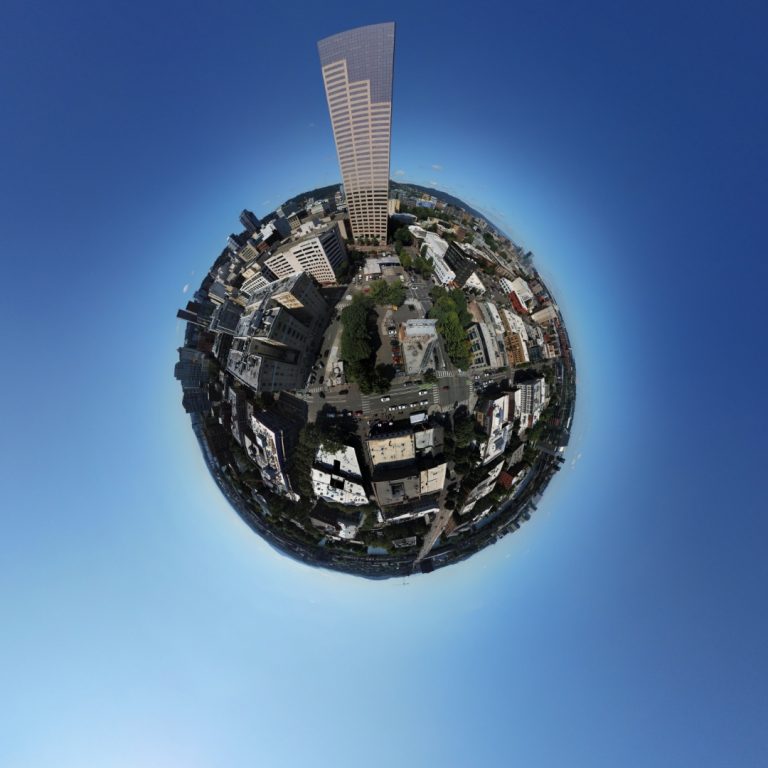
All Mission Services in All Regions of Florida Night Waiver Ops Over People Waiver sUAS Thermographer Certified MultiSpectral/NDVI Specialist OrthoMapping HighRes RGB Photos and 4K Videos (edited) Many airframes and Sensors Search for DronePhD on YouTube to check out our impressive Portfolio. Aerial Film Crew for World’s Strongest Man 1000’s of Flight Hours in all areas of industry! Agriculture Utilities Read more...
Favorite
Address: 114 Lakeview Dr
York
South Carolina
York
South Carolina
www.HAWK-i.us — your Go-To source for construction and real estate drone photography and mapping in the Carolinas. We serve aerial photography needs of construction projects throughout upstate and midlands South Carolina as well as residential and commercial realtors in both Carolinas. Please see our web site at www.HAWK-i.us for a full description of services, pricing, and portfolio examples. Read more...

Favorite
Address: Private Address
Welcome to Drone Altitude LLC, where innovation takes flight. At Drone Altitude, we specialize in providing cutting-edge drone solutions for a variety of industries, including aerial photography, videography, Commercial and Residential Real Estate, Construction, Timelapse Cameras, and more. Our team of experienced and FAA certified drone pilots is committed to delivering high-quality aerial services tailored to meet the unique needs Read more...
Favorite
Address: 3863 Heritage Ln
Kingman
Arizona
Kingman
Arizona
SkyPhoto66 is owned and operated by professional FAA certified drone pilots who possess the technical expertise to meet all of your needs. Our drone-based aerial intelligence platform provides critical information and analytics our clients rely on to accelerate their operations. We use a fully-integrated, end-to-end, cloud-enabled platform to deliver the highest quality product in the construction, insurance, mining, agriculture, real Read more...
Favorite
Address: 10179 Washington Ave
Irwin
Pennsylvania
Irwin
Pennsylvania
We are currently not accepting new business We are a small drone company serving Southwestern Pennsylvania with affordable aerial imaging solutions. When you work with us you’re dealing directly with a local full service aerial imaging company, not a national clearing house that provides a nameless pilot. Our services include aerial mapping and inspection as well as aerial photos and Read more...

Favorite
Address: 2858 Attala Road 1213
Kosciusko
Mississippi
Kosciusko
Mississippi
James “Buck” Buchanan is a registered forester in the state of Mississippi, and a certified part 107 drone pilot with over 50 hours of flight experience. Services provided include aerial photography and videography using a Phantom 4 Pro with a 20MP camera and 4k video. Read more...
Favorite
Address: 250 Simon St SE
East Wenatchee
Washington
East Wenatchee
Washington
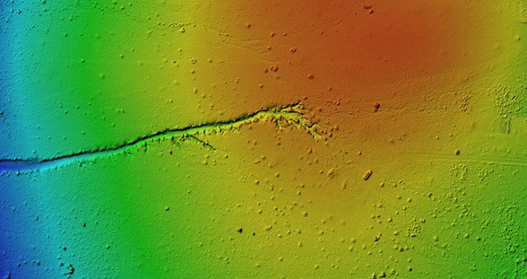
Land Surveying, Photogrammetry, Airborne and Vehicle LiDAR Scanning, Construction inspection/monitoring, Agriculture Read more...
Favorite
Address: 38619 Wakefield Ct
Farmington Hills
Michigan
Farmington Hills
Michigan
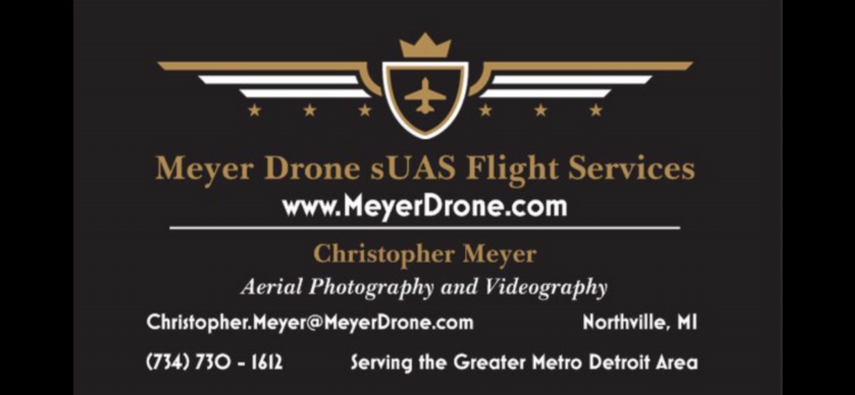
Hello! My name is Chris Meyer and I have a wealth of experience in all aviation sectors including Commercial Airline Pilot, Flight Instructor, Remote Pilot. I currently teach Drone Technology at the high school and collegiate level as well. My company services all Aerial photography, videography, inspection, mapping needs. I also can be hired out to teach you the knowledge Read more...
Favorite
Address: 1854 NDSU Research Cir N
Fargo
North Dakota
Fargo
North Dakota
Drone Services Provider in Fargo, ND supplying drone flight services and training for customers in the the Midwest. Over 10 drones in our fleet. Sensors include: LIDAR, Thermal, 42MP Full-Frame, NDVI, 6K Video, and more. sUAS Thermography Certified Pix4D Certified Gold Seal Certified FAA Daytime Waiver Approved FAA Height Waiver Approved In the UAS/Drone field since Section 333 Waiver approval Read more...
Favorite
Address: 10944 1/2 Hortense St
Los Angeles
California
Los Angeles
California
Hi. My name is Sheldon Charron and I’m a commercial drone pilot, director, writer and filmmaker from Canada, and a US permanent resident. I personally fly and also have a few other pilots I work with for my productions. In addition to drone operations, I also have a full production company and crew. I owned an ad agency and e-commerce Read more...
Favorite
Address: Bldg 1103 Suite 140C
John C. Stennis Space Center
Mississippi
John C. Stennis Space Center
Mississippi
UAV Imaging Services and Training provider. Head UAV trainer has trained emergency responders from all 50 states on multiple platforms. Part 107 training provider. Full UAV shop where we build and test customer UAV/sensor solutions. We also operate a full optics calibration lab and have provided camera/sensor calibration and consulting for many well known drone and aerial camera companies. Have Read more...
Favorite
Address: 2131 Gorham Ave
Fort Myers
Florida
Fort Myers
Florida
5 year UAS experience. Fast, safe, and reliable Read more...
Favorite
Address: 928 Hopmeadow St
Simsbury
Connecticut
Simsbury
Connecticut
Visual Media company providing High-end Video, Photography and 3D across all markets. Providing professional Aerial Services throughout Connecticut and Southern New England Read more...
Favorite
Address: 108 Grandview Dr
Henderson
Nevada
Henderson
Nevada
Professional fixes wing pilot and UAS pilot. Over 16,000 flight hours and 40 years experience in the aviation field with 10 years experience in the UAS Drone business Read more...
Favorite
Address: 125 E Milford Dr
Syracuse
New York
Syracuse
New York
At Drones Over CNY, we are here to meet your needs and exceed your expectations. With our certified remote pilots, we are able to provide you with the aerial imaging you need to enhance your business. We are fully FAA compliant and fully insured with a $1,000,000 general liability policy. Not only is Chris Thompson the owner of the company. Read more...
Favorite
Address: 280 A St E
Vale
Oregon
Vale
Oregon
Echo is a specialized drone company, specializing in aerial drone videography and mapping Our passion is to create and produce high quality aerial videography and mapping that is customized, personalized, and styled to the unique needs of our individual clients at an affordable price. Read more...
Favorite
Address: Lenexa
Lenexa
Kansas
Lenexa
Kansas
We provide aerial photography and videography services for individuals in and near Kansas City. Our specialty is real estate drone photography and videography. Did you know, according to MLS statistics, homes with aerial images sold 68% faster than homes with standard images, According to the National Association of Realtors. We are here to help you get the aerial photos and Read more...
Favorite
Address: Huntington Beach
Huntington Beach
California
Huntington Beach
California
Tower/Rooftop Inspections | Construction | Real Estate Photographs | General Imagery The official drone service of Southern California Visit our website at: www.pacificdronepilots.com to see how you and your business can benefit from our services. Certified with the United States Department of Transportation, Federal Aviation Administration (FAA Part 107) Read more...
Favorite
Address: 262 Orchard Ave
Maple Shade Township
New Jersey
Maple Shade Township
New Jersey
Aerial photography, video and inspections. Certified in insurance roof inspections and hold a Daytime waiver. Read more...