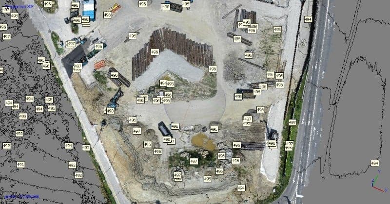
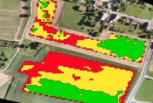
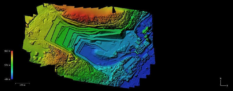
Thermal Flight can save your company time and money by creating 2D maps or 3D Models of your jobsite or Infrastructure and Import them right to your desktop in AutoCad 3D or ArcGis. Conduct Accurate Measurements or Volume calculations and Digital Elevation Models.
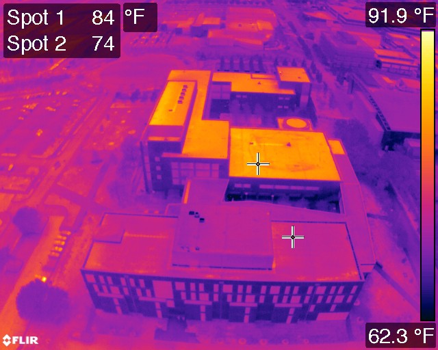
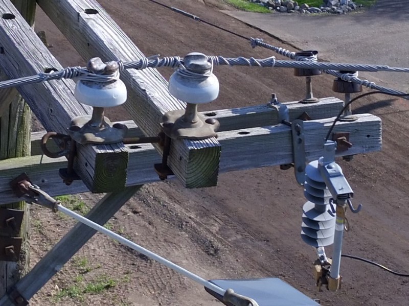
Or if you need Inspection work, we got you covered. With Infrared or RGB Data taken from state of the art UAV, you can get as close as you want and Inspect every crack or missing bolt.
Loading...
No Records Found
Sorry, no records were found. Please adjust your search criteria and try again.
Maps failed to load
Sorry, unable to load the Maps API.


