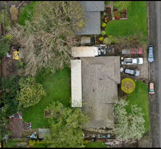
Earth to Sky Services LLC NV
Earth to Sky Services LLC NV
Winnemucca, Nevada, United States
Write a Review
Favorite
Contact Name: Trevor Sheffield
Certification Details
Insurance Coverage: Up to $1 Million
Pilot Login
Getting Started with Drone Pilots Central
I’m looking for a drone pilot.
Enter the city and state or ZIP code of the area you’d like to search. Using the compass icon to the right, you can have your browser automatically locate your area and set the maximum distance you’d like search results for. You can also filter your search by category. This is the easiest way to find a professional drone pilot. It’s completely free and no sign-up is needed!
I am a drone pilot.
If you are an FAA-certificated remote pilot, you may add your listing for free! Simply click Add Your Listing and potential clients will be able to easily find and contact you!
I have more questions.
Click FAQ anywhere on the site. You’re also welcome to reach out using our Contact Us page.
Change Location
Find awesome listings near you!


