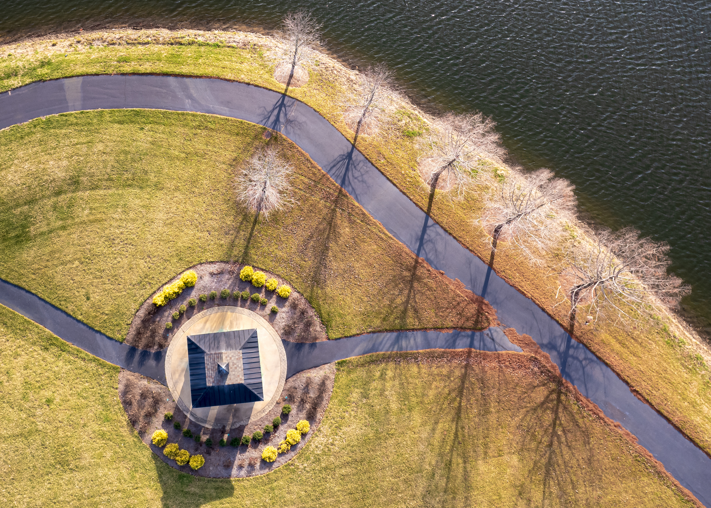
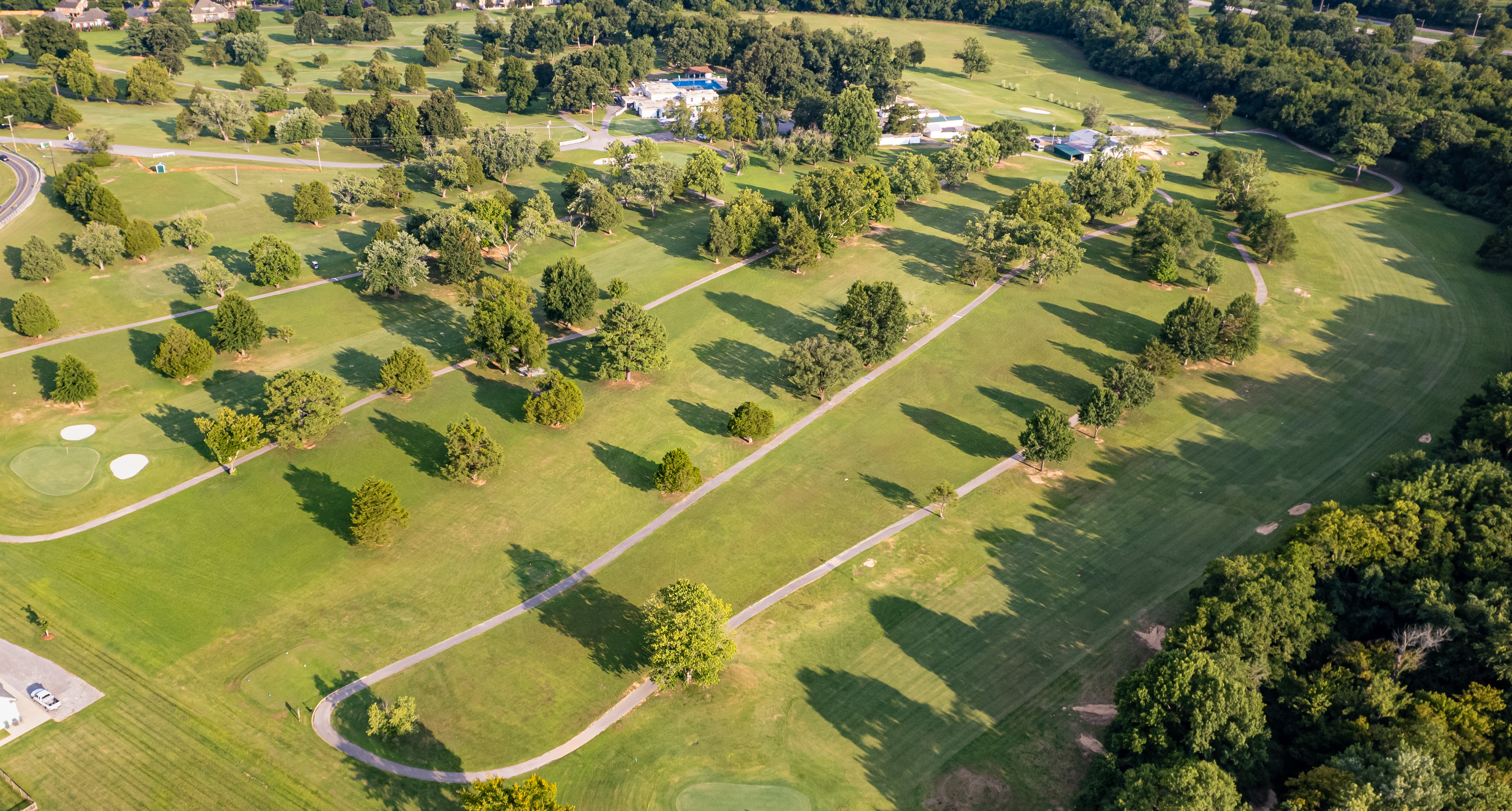
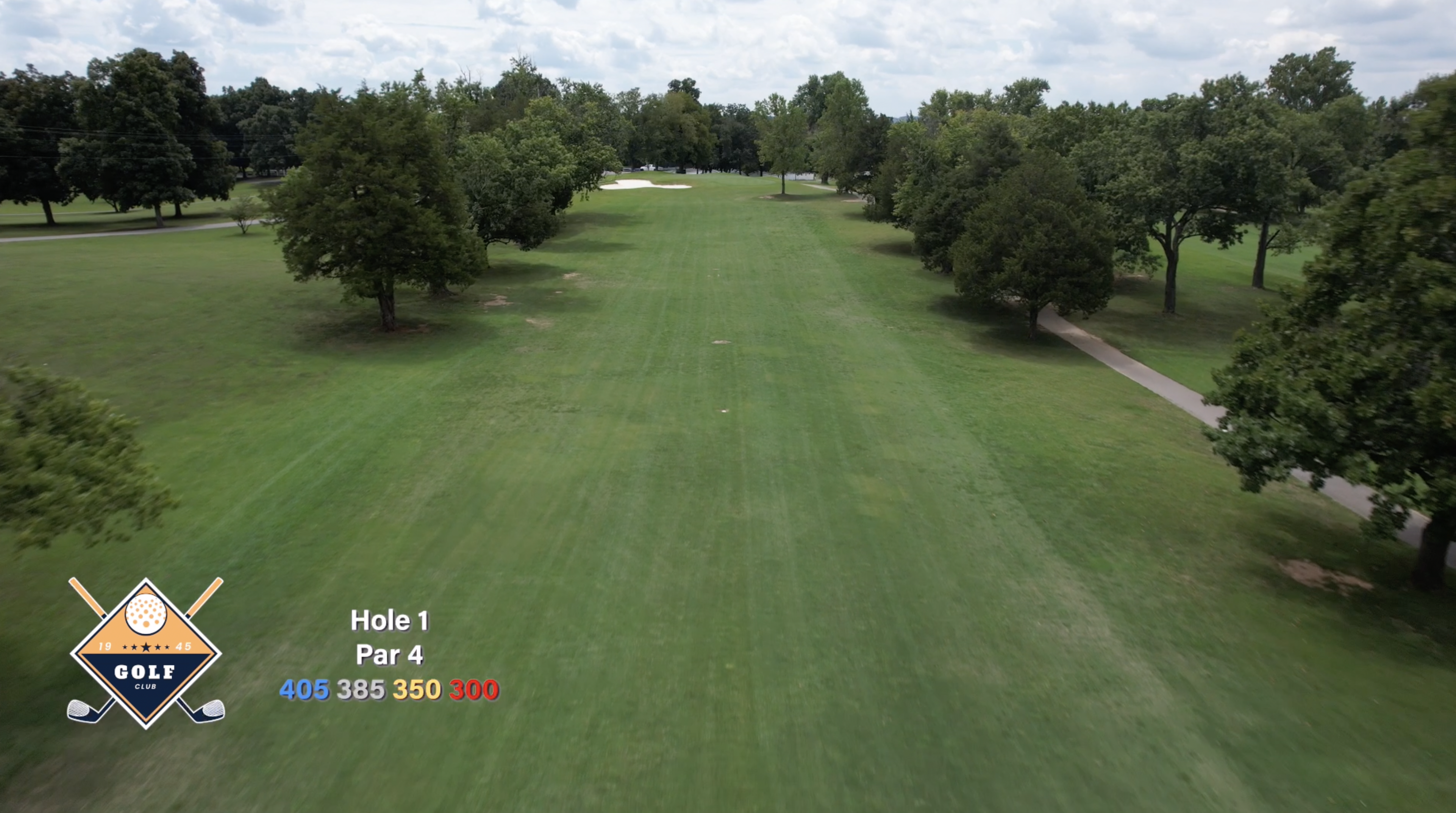
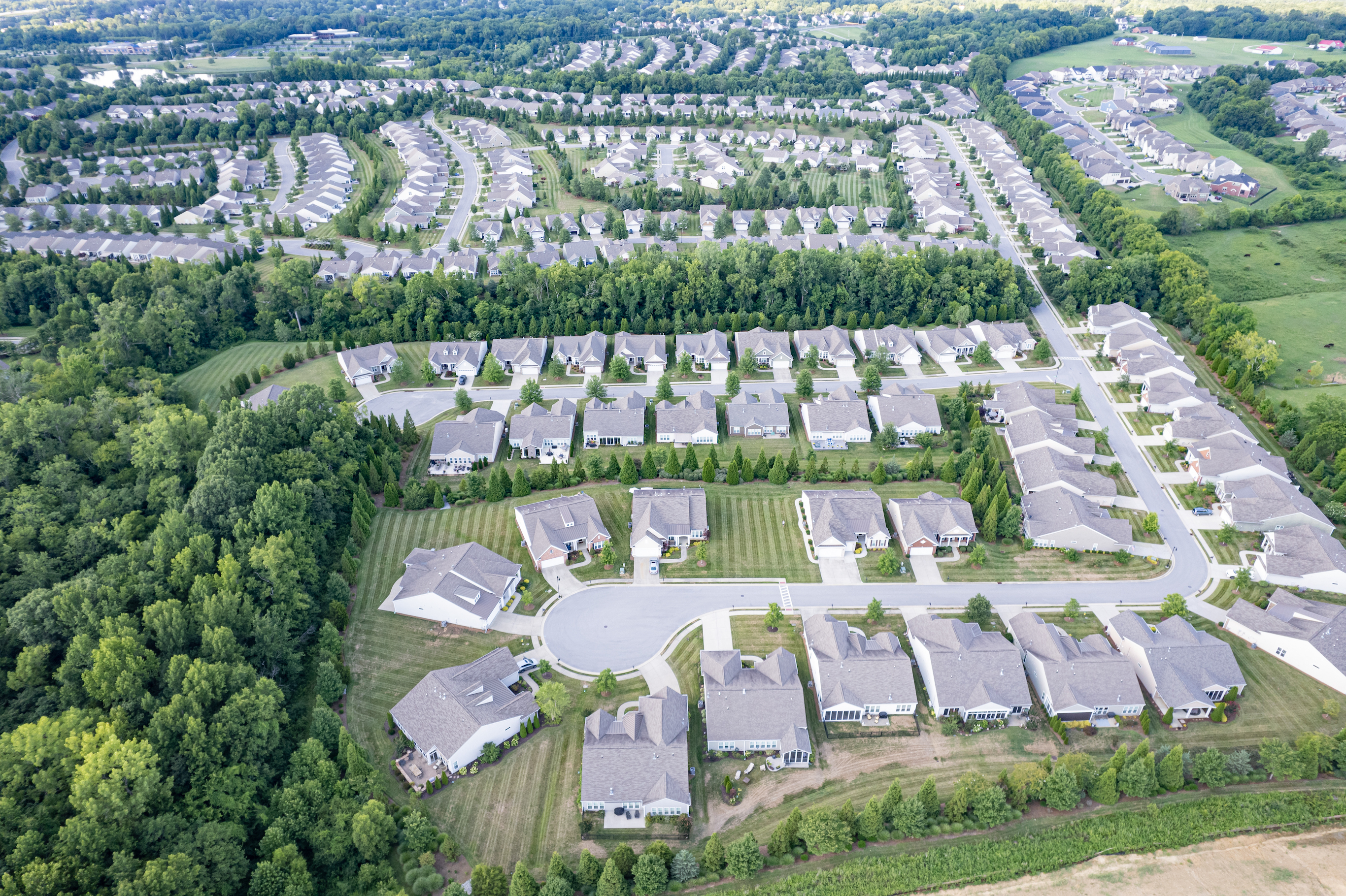
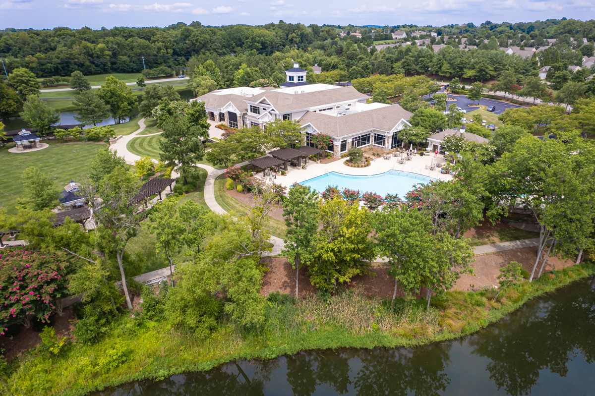
I’m Lyle Haylett and I created Middle Tennessee Aerial Imaging to offer drone photo, video, data services from basic photos/videos, to golf course promotional images and videos like fly-overs, orthomosaic maps, to construction progression video and stills, photogrammetry and 3D models, to roofing inspections and measurement.
I always like to develop new ways of using aerial imaging so no matter your need or whether you think it’s possible, let me help you make it happen.
Loading...
No Records Found
Sorry, no records were found. Please adjust your search criteria and try again.
Maps failed to load
Sorry, unable to load the Maps API.
The special offer has expired, but contact me and I'm sure we can arrange a great package at a reasonable price.


