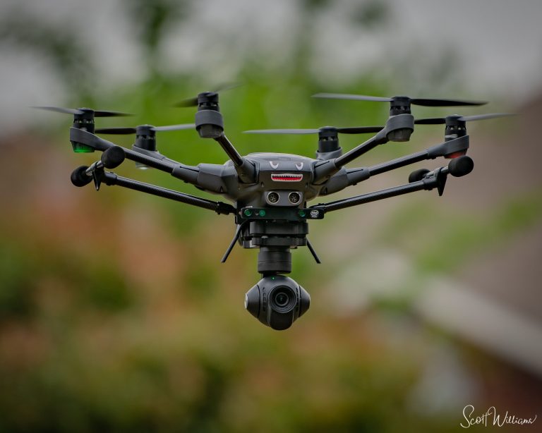
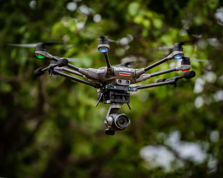
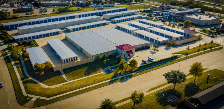
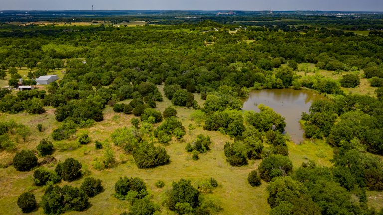
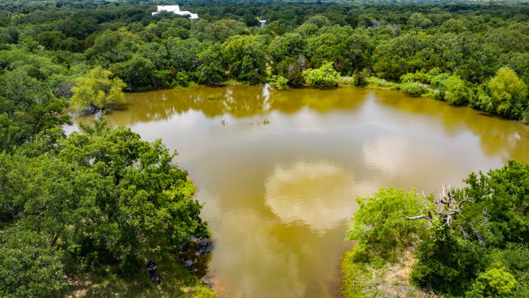
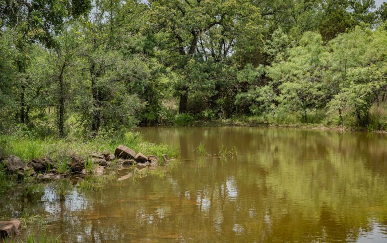
Serving the Dallas/Ft. Worth Metroplex and North Texas area, Orbis Drone Services offers Hi-Definition, Hi-Resolution aerial imaging and video services for your business needs. We offer Real Estate Marketing Images, Insurance Claims Imagery, Construction Progressions, Day & Night Security & Site Monitoring, Utility Inspections, and Fine Artwork images and marketing videos of your property to proudly display in your home or business. We have FAA Certificate of Authorization’s for all of the major (Class D and Surface Class E) airspaces in the DFW Metroplex, linked to our Part 107.29 Daylight Wavier. This enables us to fly at will, 24hrs a day, in all of the major DFW airspaces. Access to LAANC also allows us to fly in the Surface Class B airspaces around the major airports. Give us a call today and see what we can provide for you!
DRONE REAL ESTATE AERIAL PHOTOGRAPHY AND VIDEO
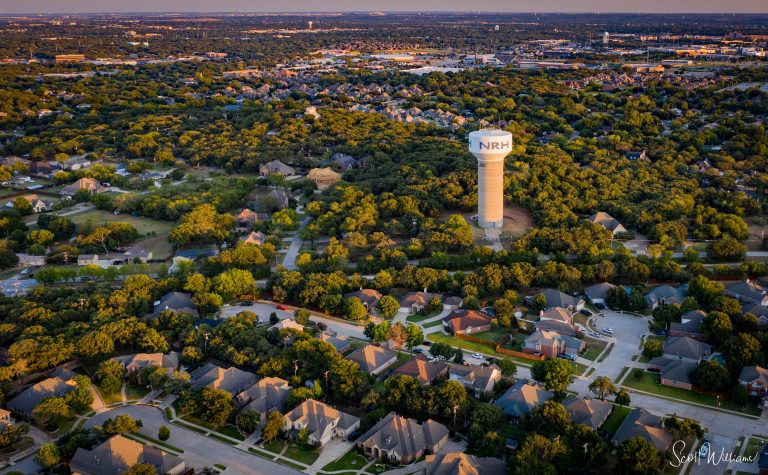
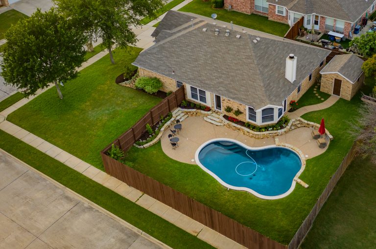
Image the whole property from above to see the surrounding area as well, show off the beautiful landscaping and how it blends, harmonizes with surrounding properties. We can also create stunning videos, including dramatic “Fly-By’s”, sweeping “Fly-Overs”, slow “Bird’s Eye View” above the property. From still images for MLS to aerial images and video, we fulfill all of your Real Estate imaging needs!
STORM DAMAGE DRONE RESPONSE TEAM FOR INSURANCE CLAIMS
Are the insurance claims coming in swamping your operations? Call our Drone Response Team (DRT) today. We can deploy the DRT very quickly. No need to put your adjuster at risk climbing on a dangerous roof just to see what we can image safely for you. We provide very high-resolution images for your Licensed Inspector to view in the safety and comfort of their office. Zero RISK for you and your operations. Photographic records for claims and property history. We can cover multiple properties very quickly and have your images available to you in near “Real-Time” by uploading to our private DropBox in the field. We can do this so quickly, you can even direct us to take a “closer look” at specific areas while we are on site!
DRONE DAY & NIGHT SITE SECURITY AERIAL PHOTOGRAPHY
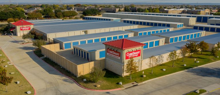
Is everything where it should be? Is anything missing? It was here on this date but gone on the next? Be able to prove that supplies or equipment are where they should be, or are now missing. Photographic proof that the police and insurance will surely appreciate and give you peace of mind with your valuable assets. We can come out daily, weekly, bi-weekly, monthly or on a custom schedule you require. We now also offer Night Security Images. Identify where your Security Lighting is deficient and where additional lighting needs to be installed.
DRONE CONSTRUCTION PROGRESSION AERIAL PHOTOGRAPHY
No need to visit each of your sites so often, wasting your valuable time and creating unnecessary travel expenses when you have more pressing matters to deal with. Send us out and we’ll image the site for you so you can see the progress of construction from the comfort and safety of your office. Save the time, gas and frustration. Eliminate the RISK of entering construction sites. We’ll do it for you.
DRONE UTILITY AERIAL PHOTOGRAPHY FOR INSPECTIONS
We offer Aerial Images of Utility Systems such as Light Poles, Electrical Towers, Water Towers, Pipelines, and other difficult to reach structures. We can collect high-resolution images of critical systems, keeping you from high-risk deployments of manpower on a large scale basis. Our images can enable your Licensed Inspector to quickly survey multiple sites and schedule closer inspections/repairs from the safety and comfort of their office and desk. Scheduled, regular interval imaging of critical structures can provide an image record, over time, of endurance and condition valuable to your operations and scheduled maintenance efforts.
LANDSCAPE PLANNING DRONE AERIAL PHOTOGRAPHY
We can image your property from above and deliver an Ultra High-Resolution Image that you can use to view and plan your Landscape Projects. Images online from popular services can be years old in many cases. They’re also not very clear and when you scale up or zoom in, they become a blurred mess of little to no use. We’ll deliver a stunning, crisp, and clear image of how your property looks today. Print this image out to sketch your designs and plans, or import them into any of the popular CAD programs for exacting, Architectural Project plans and needs. Our images will enable you to properly and accurately plan your projects. We’ll come out after you’re finished so you can have stunning Before & After Images.
COVID-19 STATUS:
Our operations are set up to provide Contact Free services and observe Social Distancing Guidelines to naturally complement our Drone Photography Services in the Dallas / Fort Worth Metroplex:
IN-PERSON INTERACTION:
It is unusual to meet in person with Clients unless we are meeting an Insurance Adjuster or Claims Engineer onsite. Our engagement is primarily done via email, text messages, videoconferencing, and phone calls. We discuss exactly what you require, make all arrangements, and communicate progress via the stated channels. We only meet in person if you request this. We want to make it simple for you: Tell us what you need, and we’ll provide it.
DRONE PHOTOGRAPHY AND VIDEO SERVICES:
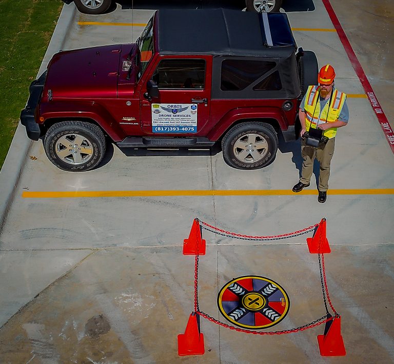
The Social Distancing Guidelines are actually how we conduct imaging operations now. We rarely interact onsite with anyone, and set up operations well out of the way. Pilots wear high visibility, FAA-marked safety vests and Takeoff/Landing Pads are coned off and well marked. These efforts help keep the public and curious bystanders well away from our operations, far in excess of the 6’ Social Distancing Guidelines. Our Drone Photography Services are as non-intrusive as possible.
DRONE PHOTOGRAPHY AND VIDEO DELIVERY
Once finished onsite, all post-processing is done in our studio. Any Client interactions are via the aforementioned channels. Final products (Video, Still Images) are delivered via a download link to a private folder on our Business DropBox service. The operation is “No Contact” from start to finish!
Our normal business model is fully compliant with the latest Social Distancing Guidelines. Our goal is to make the whole process of providing your aerial images as easy as possible for you. Give us a call, tell us what you need, and we’ll make it happen.
Sorry, no records were found. Please adjust your search criteria and try again.
Sorry, unable to load the Maps API.


